Skip past header information
USGS - science for a changing world

Open-File Report 2014-1245


Water-Level Measurements in Dauphin Island, Alabama, From the 2013 Hurricane Season


Skip past contents information/ Title Page / List of Figures / List of Tables / Conversion Factors / Abstract / Introduction / Instrumentation / Site Description / Results / Acknowledgments / References Cited / Index /


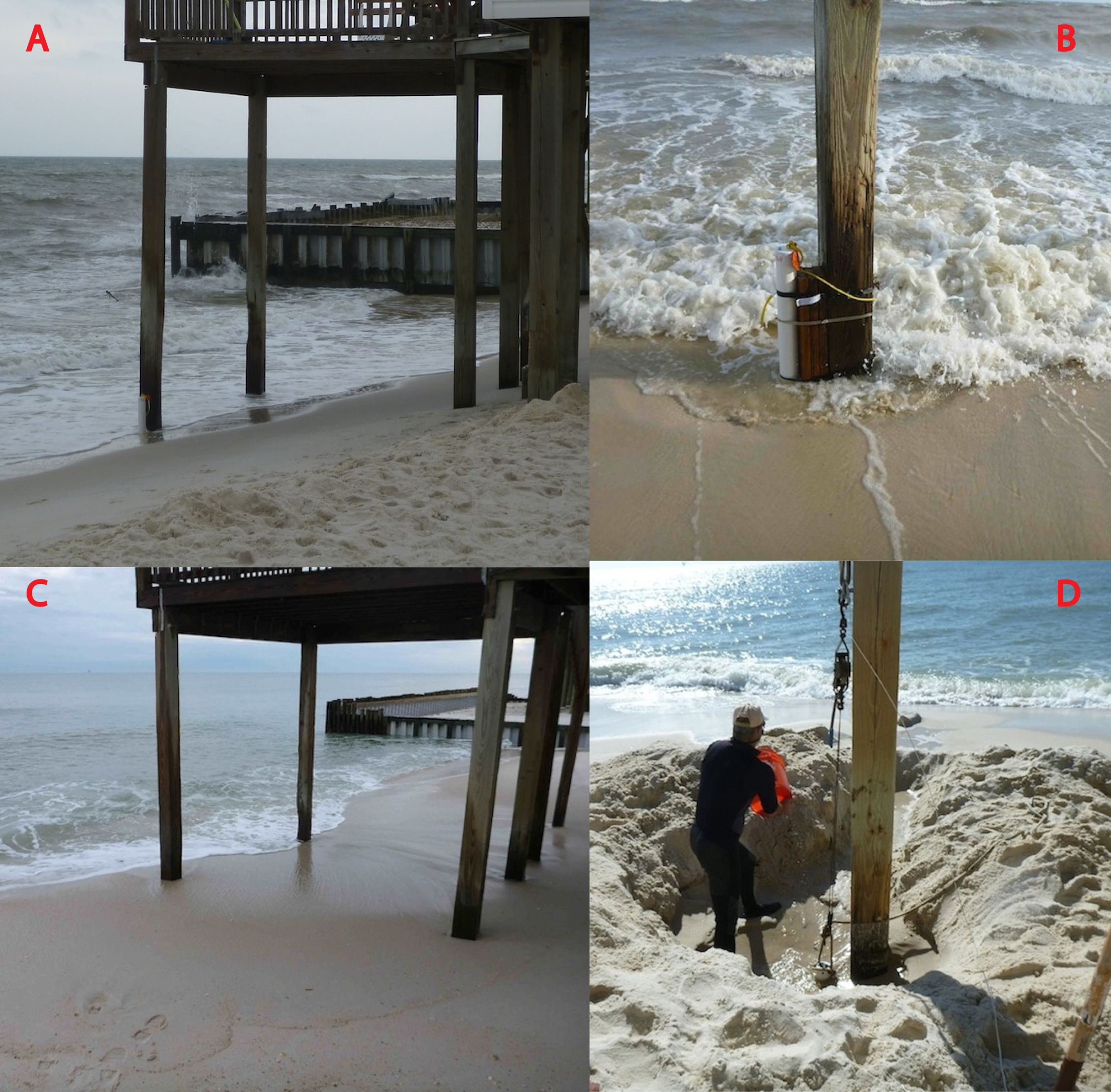
photographs illustrating burial of well at site 968.


Figure 8.
Photographs illustrating burial of well at site 968. A, View of porch piling and the well at site 968 immediately after deployment; the well is at the base of the piling the farthest to the left in the picture. B, The well at site 968 strapped to piling shortly after deployment. C, View of porch piling with well completely buried just before recovering sensor from well. D, U.S. Geological Survey scientist digging out the well at site 968.

Accessibility FOIA Privacy Policies and Notices

Take Pride in America logo USA.gov logo U.S. Department of the Interior | U.S. Geological Survey
URL: http://pubsdata.usgs.gov/pubs/of/2014/1245/ofr2014-1245-figure8.html
Page Contact Information: GS Pubs Web Contact
Page Last Modified: Wednesday, 07-Dec-2016 20:05:56 EST