
Introduction
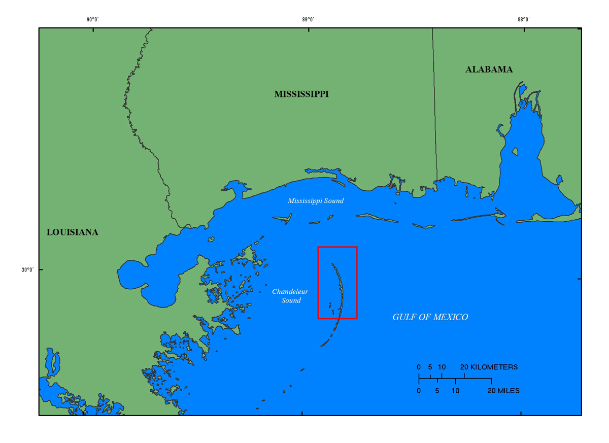
The Chandeleur Islands are a crescent-shaped chain of barrier islands located about 40 kilometers (km) east of the Mississippi River Delta in Louisiana (fig. 1). The islands are a relic of the St. Bernard delta lobe of the Mississippi River that was active approximately 2,000 to 4,000 years ago until the river avulsed and sedimentation shifted to the west (Twichell and others, 2009, 2011). A lack of new sediment, continued erosion and subsidence of the former deltaic headland, and frequent impact by tropical storms has made the Chandeleur Islands exceptionally vulnerable to land loss in recent decades.
Between June 2010 and April 2011, the State of Louisiana constructed a sand berm extending more than 14 km offshore of, and adjacent to, the northern Chandeleur Islands in response to the April 20, 2010, Deepwater Horizon oil spill (Lavoie and others, 2010; Plant and Guy, 2013a, 2013b). The emplacement of this berm provided a unique opportunity to build on extensive USGS research that focused on the regional geologic framework and evolution of the Chandeleur Islands and the short-term impacts extreme storms have on this barrier-island system (Baldwin and others, 2009; Twichell and others, 2009; Lavoie, 2009; Kindinger and others, 2013; and Pfeiffer and others, 2013). As part of the Barrier Island Evolution Research (BIER) project, scientists from the U.S. Geological Survey's (USGS) St. Petersburg Coastal and Marine Science Center (SPCMSC) are conducting a series of seafloor mapping surveys to quantify morphologic, lithologic, and subsurface changes in the nearshore around the Chandeleur Islands. The high resolution geophysical data collected in each of 3 consecutive years along this rapidly changing barrier-island system will provide a unique time-series dataset that will significantly further the analyses and geomorphological interpretations of this and other coastal systems, improving our understanding of coastal response and evolution over short time scales (1-5 years).
Sediment located in the littoral zone is transported by alongshore currents, waves, and storms, shaping both the sub-aerial and sub-aqueous environments of barrier islands. Mapping bathymetry and surficial sediment distribution contributes essential information on island platform morphology, nearshore processes, and coastal evolution. In addition, these data can be combined with sub-surface geological information (Forde and others, 2013) to provide a three-dimensional snapshot of the nearshore geology surrounding the island. Ultimately, bathymetric data will be combined with topographic data acquired from lidar technology to achieve a comprehensive snapshot of morphologic changes occurring in the coastal system.
This data series includes the bathymetric and interferometric backscatter data collected in July and August, 2012 (USGS Field Activity Numbers, 12BIM03 and 12BIM04), while the seismic-reflection data for the same cruise (12BIM03) is reported by Forde and others (2013). Other USGS geophysical publications relevant to this study area include Baldwin and others, 2009; Morton and Rogers, 2009; Smith and others, 2009; Twichell and others, 2009, 2011; DeWitt and others, 2010, 2012a, 2012b 2012c; Flocks and others, 2011; Forde and others, 2011a, 2011b, 2011c, 2011d, 2012; Pendleton and others, 2011; Pfeiffer and others, 2011, in prep; Buster and others, 2012; Kindinger and others, 2013.
Processed data, maps, and imagery products are downloadable in a geographic information system (GIS) format located in data downloads.
Also see Related Works.
