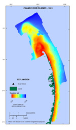
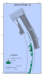
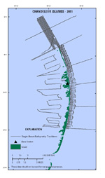
Data Downloads
The bathymetry DEM (Geographic Tagged Image File Format, GeoTIFF), map documents, and shapefiles provided in this report were created in ESRI ArcGIS 10.0.5 and can be opened using ESRI ArcGIS 10.0 or higher. To open the GIS map project in ESRI ArcGIS, right-click on the link below and choose "Save As." The folder contains the map document file and all associated vector and raster data. The data layers provided may also be viewed using the free GIS viewer ArcGIS Explorer. All GIS files presented this report use the projected coordinate system NAD83, Universal Transverse Mercator (UTM) Zone 16 North (16N), and all elevations are NAVD88 orthometric heights, derived using the GEOID09 geoid model. The ASCII x,y,z files are also provided in the dataset acquisition datum (interferometric swath bathymetry – ITRF05, single-beam bathymetry – ITRF00) and MLLW tidal elevations. Do not use these data for navigational purposes.
| Preview | File Description | File Format | Download File | Metadata |
|---|---|---|---|---|
 |
ESRI ArcGIS project Bathymetry DEM |
ESRI files GeoTIFF |
Chan11-GIS.zip (5.3 MB) Chan11_DEM.zip (170 KB) |
Included with download |
 |
Swath samples Swath tracklines |
ASCII ESRI shapefile |
11BIM01_IFB_xyz.zip (43.0 MB) 11BIM011_IFB_tracklines.zip (2.4 MB) |
 |
Single-beam soundings Single-beam tracklines |
ASCI ESRI shapefile |
11BIM02_SBB_xyz.zip (6.5 MB) 11BIM02_SBB_tracklines.zip (1.7 MB) |
A Note on Coordinate Systems
WGS84 and NAD83 have been revised several times resulting in coordinate shifts of as much as several meters in x, y, and z. The revision is indicated by the designator following the name (G1150 following WGS84, for example). Care should be taken using software that does not distinguish between the different datum versions; lack of the designator is a warning sign that software does not support three-dimensional (3D) datum shifts properly. Users should pay particular attention to the accompanying metadata files to ensure that the data are properly georeferenced. In particular, note that most current GIS software (including ArcGIS 10.0) cannot properly transform high-resolution elevation data from one 3D datum to another (such as WGS84 G1150 to NAD83 CORS96) without introducing errors on the order of 1 m to 2 m in x, y, and z.

