| Citation Page |
| Abstract |
| Introduction |
| Survey Overview |
| Data Acquisition |
| Data Processing |
| Error Analysis |
| Survey Products |
| Abbreviations |
| Selected References |
Abstract
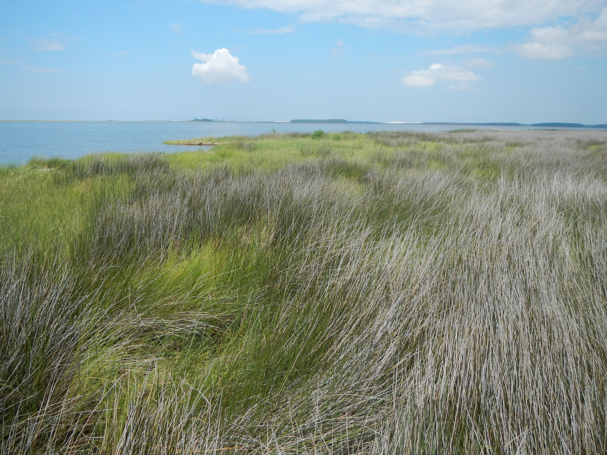
Photograph of Grand Bay, Alabama-Mississippi, marsh and open bay looking west, taken May 2015. Photograph by U.S. Geological Survey St. Petersburg Coastal and Marine Science Center Personnel. [Click image to enlarge]
As part of the Sea-level and Storm Impacts on Estuarine Environments and Shorelines (SSIEES) project, scientists from the U.S. Geological Survey (USGS) St. Petersburg Coastal and Marine Science Center conducted a single-beam bathymetry survey within the estuarine, open-bay, and tidal creek environments of Grand Bay, Alabama-Mississippi, from May to June 2015. The goal of the SSIEES project is to assess the physical controls of sediment and material exchange between wetlands and estuarine environments along the northern Gulf of Mexico, specifically Grand Bay, Alabama-Mississippi; Vermilion Bay, Louisiana; and, along the east coast, within Chincoteague Bay, Virginia-Maryland. The data described in this report provide baseline bathymetric information for future research investigating wetland-marsh evolution, sediment transport, erosion, recent and long-term geomorphic change, and can also support the modeling of changes in response to restoration and storm impacts. The survey area encompasses more than 40 square kilometers of Grand Bay’s waters.
NOTE: These data are scientific in nature and are not to be used for navigation. Any use of trade names is for descriptive purposes only and does not imply endorsement by the U.S. Government.
Acknowledgments
Funding for this project was provided through the Sea-level and Storm Impacts on Estuarine Environments and Shorelines project. The authors would like to thank the Grand Bay National Estuarine Research Reserve personnel for their collaboration and effort during this research, and for the use of their facilities and logistical support. The authors would also like to thank Daniel Norwacki (Woods Hole Coastal and Marine Science Center), Joseph Terrano, Arnell Ford, and Jolene Gittens (U.S. Geological Survey–Coastal and Marine Geology) for conducting scientific, editorial, metadata, and web design reviews that substantially improved the content and presentation of this report. The authors would also like to thank Scott Hereford and others at the Grand Bay National Wildlife Refuge for access portions of the study area.
Information Statement
This publication was prepared by an agency of the United States Government. Although these data were processed successfully on a computer system at the U.S. Geological Survey, no warranty expressed or implied is made regarding the display or utility of the data on any other system, or for general or scientific purposes, nor shall the act of distribution imply any such warranty. The U.S. Geological Survey shall not be held liable for improper or incorrect use of the data described and (or) contained herein. Reference herein to any specific commercial product, process, or service by trade name, trademark, manufacturer, or otherwise does not constitute or imply its endorsement, recommendation, or favoring by the United States Government or any agency thereof.
Suggested Citation
DeWitt, N.T., Stalk, C.A., Smith, C.G., Locker, S.D., Fredericks, J.J., McCloskey, T.A., and Wheaton, C.J., 2017, Single-beam bathymetry data collected in 2015 from Grand Bay, Alabama-Mississippi: U.S. Geological Survey Data Series 1070, https://doi.org/10.3133/ds1070.
Contact
Nancy T. DeWittGeologist
St. Petersburg Coastal and Marine Science Center
600 4th Street South
St. Petersburg, FL 33701
(727) 502-8000
ndewitt@usgs.gov