USGS - science for a changing world

U.S. Geological Survey Data Series 569

08CCT03 Map


Home | Acronyms | Contents | Navigation | Profiles | Logs | Metadata | Software


Click on a trackline name to view the interactive profile image, Map to
view the line navigation map, or Print to view the printable profile image.

08CCT03 Location Map08c01 interactive profile08c01 line navigation map08c01 printable profile08c09 interactive profile08c09 line navigation map08c09 printable profile08c10 interactive profile08c10 line navigation map08c10 printable profile08c07 interactive profile08c07 line navigation map08c07 printable profile08c08 interactive profile08c08 line navigation map08c08 printable profile08c11 interactive profile08c11 line navigation map08c11 printable profile08c05 interactive profile08c05 line navigation map08c05 printable profile08c03 interactive profile08c03 line navigation map08c03 printable profile08c12 interactive profile08c12 line navigation map08c12 printable profile08c13 interactive profile08c13 line navigation map08c13 printable profile08c02 interactive profile08c02 line navigation map08c02 printable profile08c04 interactive profile08c04 line navigation map08c04 printable profile08c01 printable profile08c01 line navigation map08c01 interactive profile

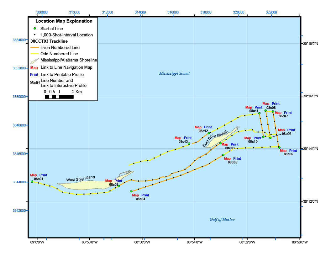
Figure 9. Location map of all digital sub-bottom profile data collected during USGS field activity 08CCT03.


Location Map | Area 1 | Area 2 | Area 2a | Area 2b | Area 3 | Area 3a | 08CCT03 Map


Home | Acronyms | Contents | Navigation | Profiles | Logs | Metadata | Software

Accessibility FOIA Privacy Policies and Notices

Take Pride in America logo USA.gov logo U.S. Department of the Interior | U.S. Geological Survey
URL: http://pubsdata.usgs.gov/pubs/ds/569/html/08cct03.html
Page Contact Information: Feedback
Page Last Modified: Monday, 28-Nov-2016 16:44:45 EST