USGS - science for a changing world

U.S. Geological Survey Data Series 569

Area 3 Map


Home | Acronyms | Contents | Navigation | Profiles | Logs | Metadata | Software


Click on a trackline name to view the interactive profile image, Map to
view the line navigation map, or Print to view the printable profile image.

Area 3 MapDetailed Horn Island Map08c703 printable profile08c703 line navigation map08c703 interactive profile08c606 printable profile08c606 line navigation map08c606 interactive profile08c701 printable profile08c701 line navigation map08c701 interactive profile08c704 printable profile08c704 line navigation map08c704 interactive profile08c702 printable profile08c702 line navigation map08c702 interactive profile08c605 printable profile08c605 line navigation map08c605 interactive profile08c700 printable profile08c700 line navigation map08c589 interactive profile08c727 printable profile08c727 line navigation map08c727 interactive profile08c591 interactive profile08c591 line navigation map08c591 printable profile08c718 interactive profile08c718 line navigation map08c718 printable profile08c719 interactive profile08c719 line navigation map08c719 printable profile08c683 interactive profile08c683 line navigation map08c683 printable profile08c717 interactive profile08c717 line navigation map08c717 printable profile08c716 interactive profile08c716 line navigation map08c716 printable profile08c720 interactive profile08c720 line navigation map08c720 printable profile08c728 interactive profile08c728 line navigation map08c728 printable profile08c675 interactive profile08c675 line navigation map08c675 printable profile08c613 interactive profile08c613 line navigation map08c613 printable profile08c673 interactive profile08c673 line navigation map08c673 printable profile08c724 interactive profile08c724 line navigation map08c724 printable profile08c678 printable profile08c678 line navigation map08c678 interactive profile08c611 printable profile08c611 line navigation map08c611 interactive profile08c615 printable profile08c615 line navigation map08c615 interactive profile08c612 printable profile08c612 line navigation map08c612 interactive profile08c725 printable profile08c725 line navigation map08c725 interactive profile08c614 printable profile08c614 line navigation map08c614 interactive profile08c723 printable profile08c723 line navigation map08c723 interactive profile08c713 printable profile08c713 line navigation map08c713 interactive profile08c715 printable profile08c715 line navigation map08c715 interactive profile08c721 printable profile08c721 line navigation map08c721 interactive profile08c722 printable profile08c722 line navigation map08c722 interactive profile08c684 printable profile08c684 line navigation map08c684 interactive profile08c714 printable profile08c714 line navigation map08c714 interactive profile

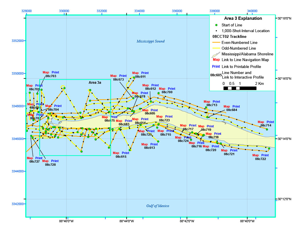
Figure 7. Trackline map of digital sub-bottom profile data collected in Dog Keys Pass and offshore of Horn Island (refer to Area 3 on the location map) during USGS field activity 08CCT02.


Location Map | Area 1 | Area 2 | Area 2a | Area 2b | Area 3 | Area 3a | 08CCT03 Map


Home | Acronyms | Contents | Navigation | Profiles | Logs | Metadata | Software

Accessibility FOIA Privacy Policies and Notices

Take Pride in America logo USA.gov logo U.S. Department of the Interior | U.S. Geological Survey
URL: http://pubsdata.usgs.gov/pubs/ds/569/html/area3.html
Page Contact Information: Feedback
Page Last Modified: Monday, 28-Nov-2016 16:44:51 EST