U.S. Geological Survey Data Series 569
Click on the highlighted area below to view the survey area in greater detail.
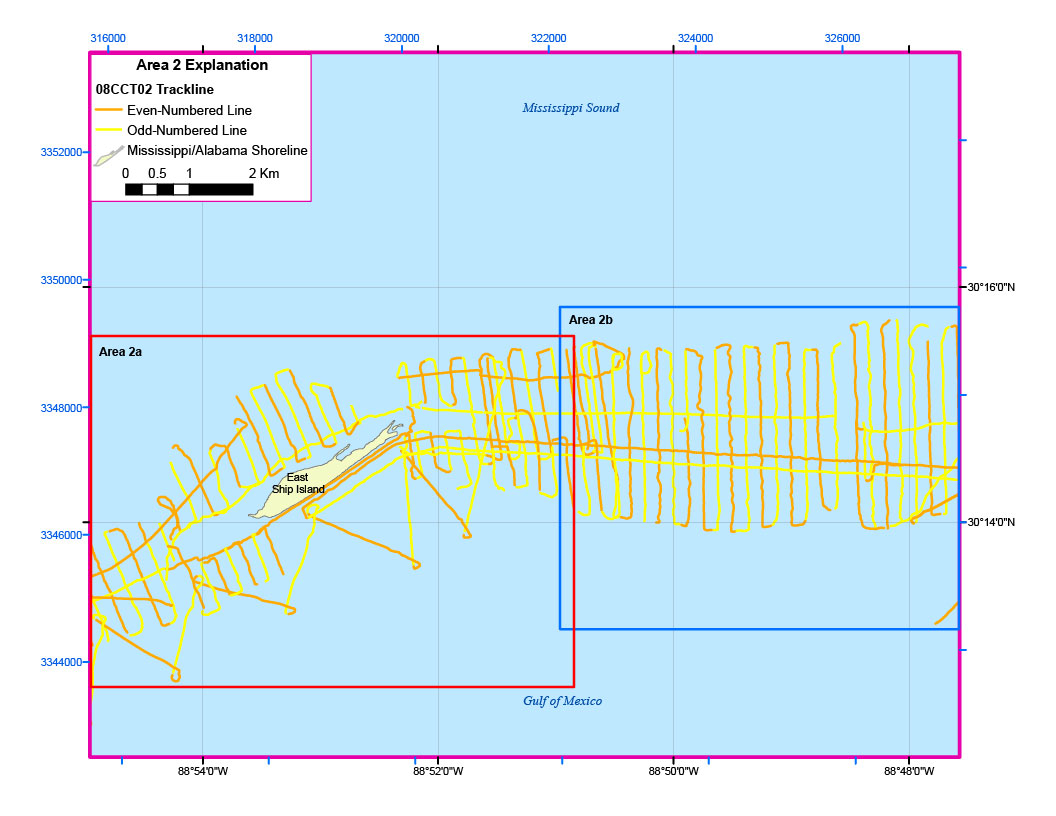
Figure 4. Trackline map of digital sub-bottom profile data collected offshore of East Ship Island (refer to Area 2 on the location map) during USGS field activity 08CCT02.

![]() U.S. Department of the Interior |
U.S. Geological Survey
U.S. Department of the Interior |
U.S. Geological Survey
URL: http://pubsdata.usgs.gov/pubs/ds/569/html/area2.html
Page Contact Information: Feedback
Page Last Modified: Monday, 28-Nov-2016 16:44:47 EST
