U.S. Geological Survey Data Series 611
Click on a trackline number to view the geospatial profile image.

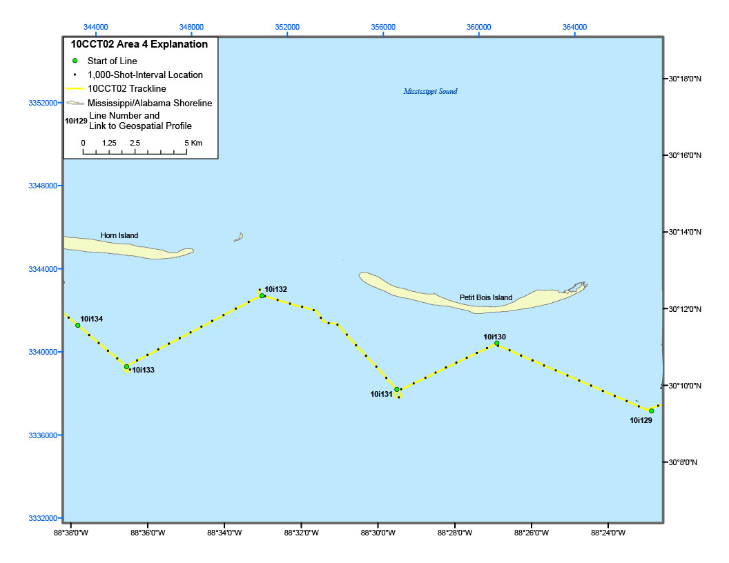
Figure 5D. Detailed trackline map of digital subbottom profile data collected during USGS field activity 10CCT02, offshore of Horn and Petit Bois Islands (refer to Area 4 on figure 4 for location).