Station Table
Introduction to the Station Table
The Station Table in the Long Island Sound and New York Bight Contaminated Sediments Database an MS Excel 2000 document containing information for over 4500 samples collected within the region. The data are identified with Unique Identification Numbers (Unique ID#), which allow linking with additional information about a sample from other tables in the database. The station table also lists data source, the year of publication or date collected, sampling devices, data type, and position, to list a few. (See Data Dictionary.)
Information in the Station Table (e.g. latitude and longitude) may be used in conjunction with parameters recorded in other data tables to sort data and map the distribution of sample concentrations. Presented below are graphical plots and maps displaying the contents of the database. These serve as examples of ways to utilize the Contaminated Sediments Database.
Station Table Plots and Graphs
| Data and Geographic Overview | ||
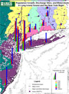
| Geographic Area | Population Growth, Discharge Sites and Watersheds in Long Island Sound and the New York Bight |
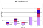
Data Compilation Sources |
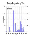
| Sample Population by Year |
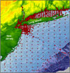
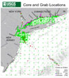
Core and Grab Locations | |
| | ||
|
Download/view the Table of Station Information | ||


