Skip past header information
Identifier symbol and link to USGS Home page
The Gulf of the Farallones: Sidescan-Sonar Imagery, USGS Open-File Report 2004-1082

Skip past index


Detailed view of sidescan-sonar mosaic

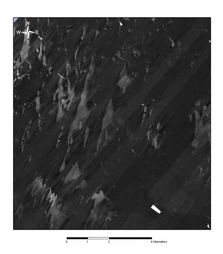
Figure 5b. Boundaries of linear depressions tend to become less pronounced in the southwest region of the mosaic where they are covered with a veneer of finer sediment. Click on figure for larger image.


Back to Sidescan-Sonar Mosaic


Skip past footer information
Home Page / Mosaic & Explanation / GIS Data / Contacts / About this Disk

[an error occurred while processing this directive]