U.S. Geological Survey Open-File Report 2008-1351
USGS Cold-Water Coral Geographic Database—Gulf of Mexico and Western North Atlantic Ocean, Version 1.0
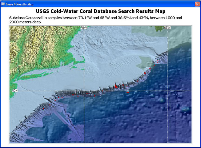
Figure 8. Screen shot of Print Map. A printable map can be created after a search is made. From the page showing the list of records returned after a search (example shown in Figure 7C), the user can click the View Map button at the bottom of the page, zoom and pan until the desired extent is achieved, then click the Open Print Map button. The area covered by the printable map will be approximately the same as the area of the Search Results Map and a header will be automatically printed at the top of the page summarizing the search criteria used (for example, bounding coordinates, species, depth ranges). The header summarizes the search parameters entered and does not change if the user zooms or pans the Search Results Map before opening Print Map. [Click here for higher-resolution image.] |
 |