U.S. Geological Survey Open-File Report 2011-1127
Construction of a 3-Arcsecond Digital Elevation Model for the Gulf of Maine
/ Title Page / List of Figures / Conversion Factors / Abstract / Introduction / Common Processing Steps and Data / Grid Assembly / Data Products / Acknowledgments / References Cited / Data Processing Scripts and Software /
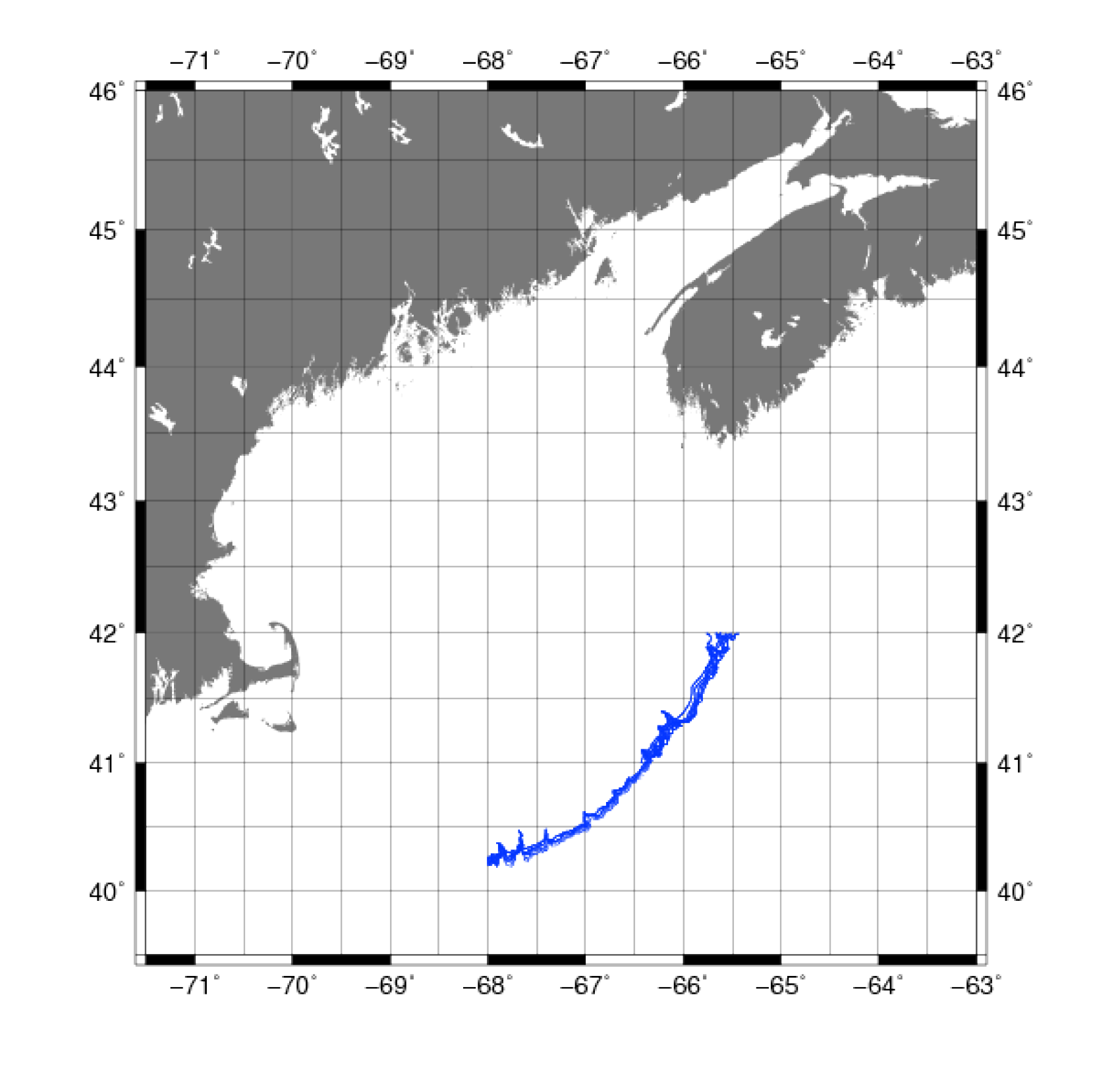
Figure 10. Map showing the extent of the digitized points for the Gulf of Maine from the U.S. bathymetric and fishing charts of the National Ocean Service’s Office of Coast Survey of the National Oceanic and Atmospheric Administration.
Download the full size image in PDF format (106 KB).
To view files in PDF format, download a free copy of Adobe Reader.