U.S. Geological Survey Open-File Report 2011-1127
Construction of a 3-Arcsecond Digital Elevation Model for the Gulf of Maine
/ Title Page / List of Figures / Conversion Factors / Abstract / Introduction / Common Processing Steps and Data / Grid Assembly / Data Products / Acknowledgments / References Cited / Data Processing Scripts and Software /
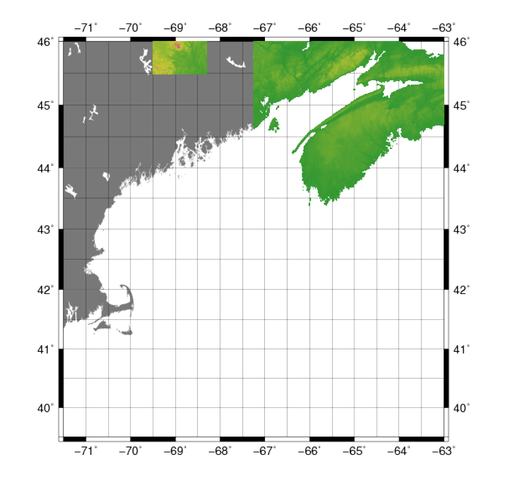
Figure 14. Map showing the extent of the data for the Gulf of Maine from the Shuttle Radar Topography Mission of the National Aeronautics and Space Administration.
Download the full size image in PDF format (106 KB).
To view files in PDF format, download a free copy of Adobe Reader.