U.S. Geological Survey Open-File Report 2011-1127
Construction of a 3-Arcsecond Digital Elevation Model for the Gulf of Maine
/ Title Page / List of Figures / Conversion Factors / Abstract / Introduction / Common Processing Steps and Data / Grid Assembly / Data Products / Acknowledgments / References Cited / Data Processing Scripts and Software /
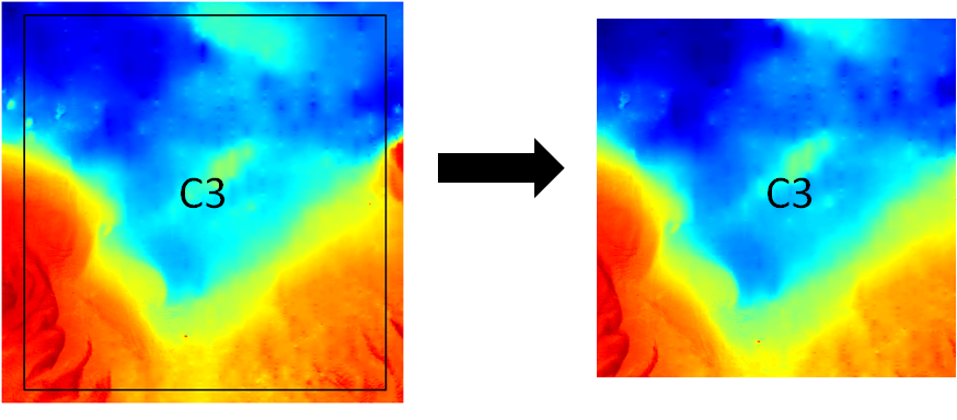
Figure 18. Bathymetric map segments illustrating the use of the Generic Mapping Tool grdcut command. Final grid section C3 (69°30' to 68°30'W and 41° to 42°N) is extracted from working sub-region C3 (69°36' to 68°24'W and 40°54 to 42°6'N).
Download the full size image in PDF format (106 KB).
To view files in PDF format, download a free copy of Adobe Reader.