Skip past header information
USGS - science for a changing world

U.S. Geological Survey Open-File Report 2011-1127

Construction of a 3-Arcsecond Digital Elevation Model for the Gulf of Maine


Skip past contents information/ Title Page / List of Figures / Conversion Factors / Abstract / Introduction / Common Processing Steps and Data / Grid Assembly / Data Products / Acknowledgments / References Cited / Data Processing Scripts and Software /


Figure 20.


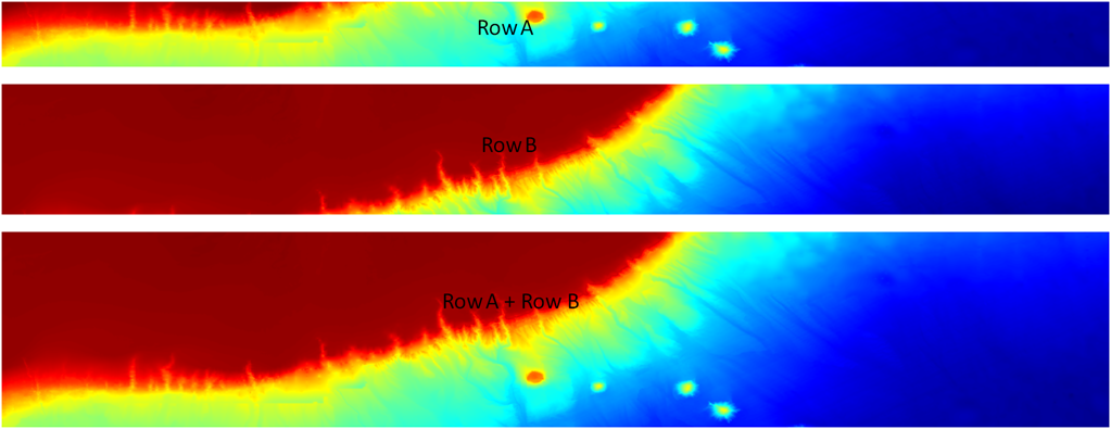
Figure 20.Bathymetric map segments showing the row sub-region pasting process using the Generic Mapping Tool grdpaste command. Row A was added to row B to produce a composite base grid. This process was then repeated for rows C through G (not shown in figure) until the grid was completed.

Download the full size image in PDF format (106 KB).


To view files in PDF format, download a free copy of Adobe Reader.


Skip USGS links group

Accessibility FOIA Privacy Policies and Notices

Take Pride in America logo USAGov logo U.S. Department of the Interior | U.S. Geological Survey
End of USGS links group