U.S. Geological Survey Open-File Report 2011-1127
Construction of a 3-Arcsecond Digital Elevation Model for the Gulf of Maine
/ Title Page / List of Figures / Conversion Factors / Abstract / Introduction / Common Processing Steps and Data / Grid Assembly / Data Products / Acknowledgments / References Cited / Data Processing Scripts and Software /
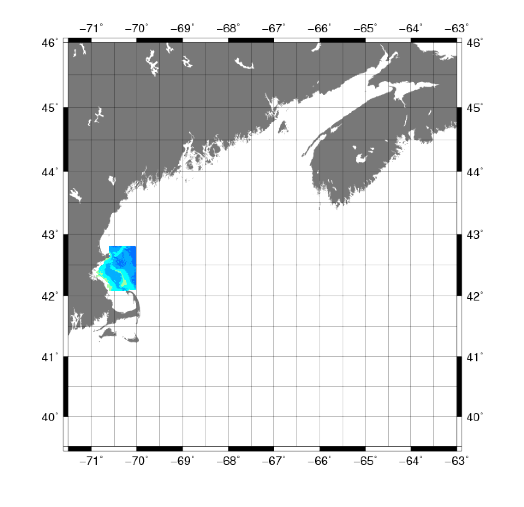
Figure 3. Map showing the extent of the bathymetric data from the U.S. Geological Survey Massachusetts Bay and Stellwagen Bank surveys from 1994-1998.
Download the full size image in PDF format (106 KB).
To view files in PDF format, download a free copy of Adobe Reader.