Skip past header information
USGS - science for a changing world

U.S. Geological Survey Open-File Report 2012-1003

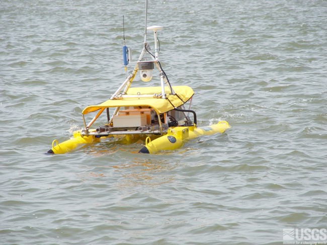
Apalachicola Bay Interpreted Seismic Horizons and Updated IRIS Chirp Seismic-Reflection Data


Skip past navigation menu to main text Title Page / List of Figures / Conversion Factors / Abstract / Overview / Methods / Profile Previews / Data Catalog / Acknowledgments / References Cited


Figure 8, photograph of the ASV IRIS.
Figure 8. Photograph of the autonomous surface vessel IRIS.
Skip USGS links group

Accessibility FOIA Privacy Policies and Notices

Take Pride in America logo USAGov logo U.S. Department of the Interior | U.S. Geological Survey
End of USGS links group