U.S. Geological Survey Open-File Report 2012-1157
Shallow Geology, Seafloor Texture, and Physiographic Zones of the Inner Continental Shelf from Nahant to Northern Cape Cod Bay, Massachusetts
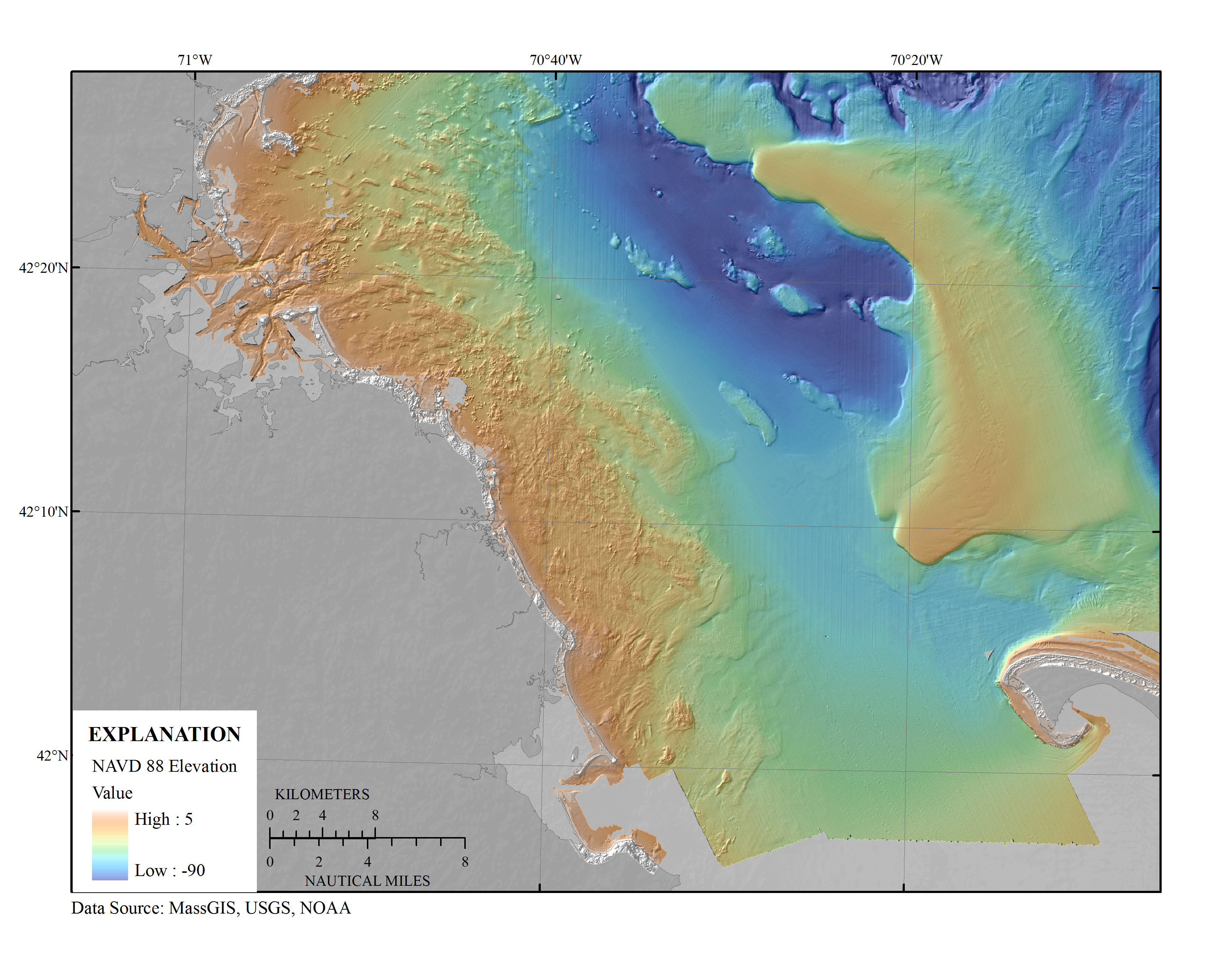
Figure 3. A digital elevation model (DEM) was produced from swath interferometric, multibeam bathymetry, and lidar at 30-meter resolution (table 1). High rugosity and high relief are most often associated with rocky areas, whereas smooth, low relief regions tend to be blanketed by fine-grained sediment deposits. NAVD 88, North American Vertical Datum of 1988.

![]() U.S. Department of the Interior |
U.S. Geological Survey
U.S. Department of the Interior |
U.S. Geological Survey
URL: http://pubsdata.usgs.gov/pubs/of/2012/1157/html/imagepages/Figure3.html
Page Contact Information: GS Pubs Web Contact
Page Last Modified: Tuesday, 20-Aug-2013 11:43:46 EDT
