U.S. Geological Survey Open-File Report 2012-1157
Shallow Geology, Seafloor Texture, and Physiographic Zones of the Inner Continental Shelf from Nahant to Northern Cape Cod Bay, Massachusetts
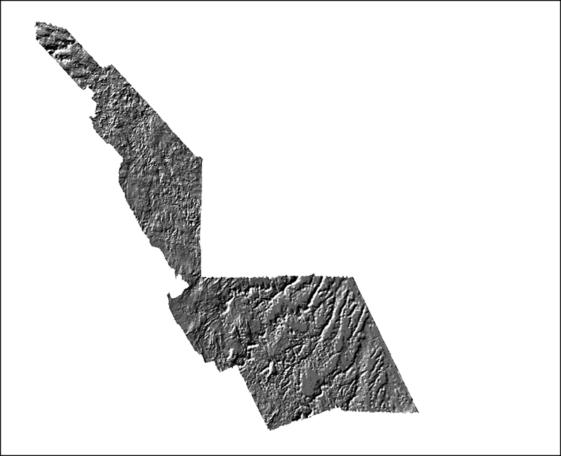
Urelevhs.tif: Image of the sun-illuminated interpolated regressive surface as stored within ArcMap™ 9.3.1


![]() U.S. Department of the Interior |
U.S. Geological Survey
U.S. Department of the Interior |
U.S. Geological Survey
URL: http://pubsdata.usgs.gov/pubs/of/2012/1157/html/imagepages/FigureUrhs.html
Page Contact Information: GS Pubs Web Contact
Page Last Modified: Tuesday, 20-Aug-2013 12:11:10 EDT
