Skip past header information
USGS - science for a changing world

U.S. Geological Survey Open-File Report 2012-1157

Shallow Geology, Seafloor Texture, and Physiographic Zones of the Inner Continental Shelf from Nahant to Northern Cape Cod Bay, Massachusetts

Skip past navigation menu to main textTitle Page / Figures / Conversion Factors and Datum / Abstract / Introduction / Methods / Results / Discussion /Summary / Acknowledgments / References Cited / Appendix 1 / Index


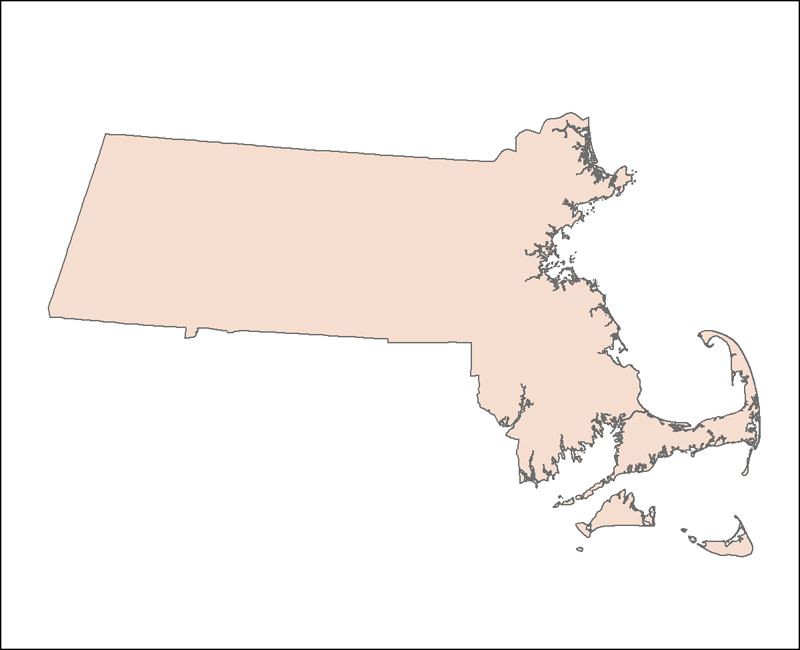
Massachusetts State Outline (25k coast)

OUTLINE25K_POLY_UTM: Outline of the Commonwealth of Massachusetts (1:25,000) from the Massachusetts Office of Geographic Information (MassGIS) as seen in ArcMap™ 9.3.


Skip USGS links group


Accessibility FOIA Privacy Policies and Notices

Take Pride in America logo USA.gov logo U.S. Department of the Interior | U.S. Geological Survey
URL: http://pubsdata.usgs.gov/pubs/of/2012/1157/html/imagepages/basemap.html
Page Contact Information: GS Pubs Web Contact
Page Last Modified: Tuesday, 20-Aug-2013 11:50:21 EDT