Provided below are links to download the simulation output. The processing steps used in creating these files may be found both in the metadata in the zip files and on the Methods page. Additional information and analysis may be found on the Results page. Scenario descriptions are found in appendix 1, and file naming conventions are described in appendix 3.
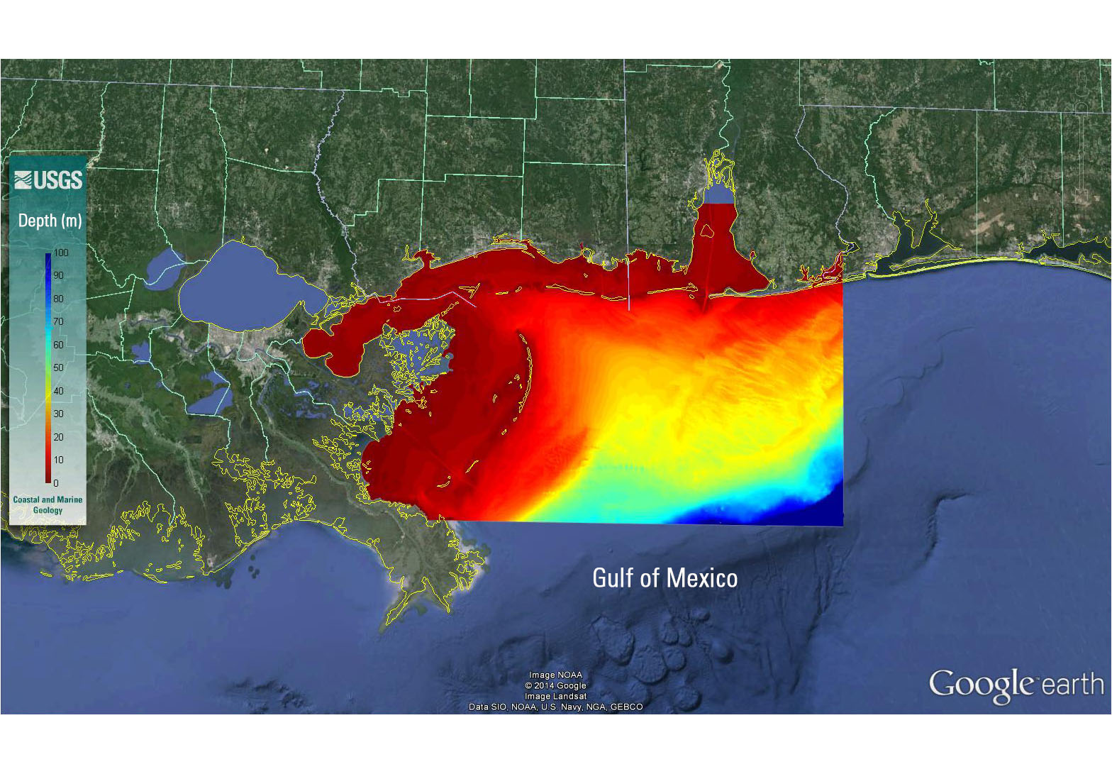
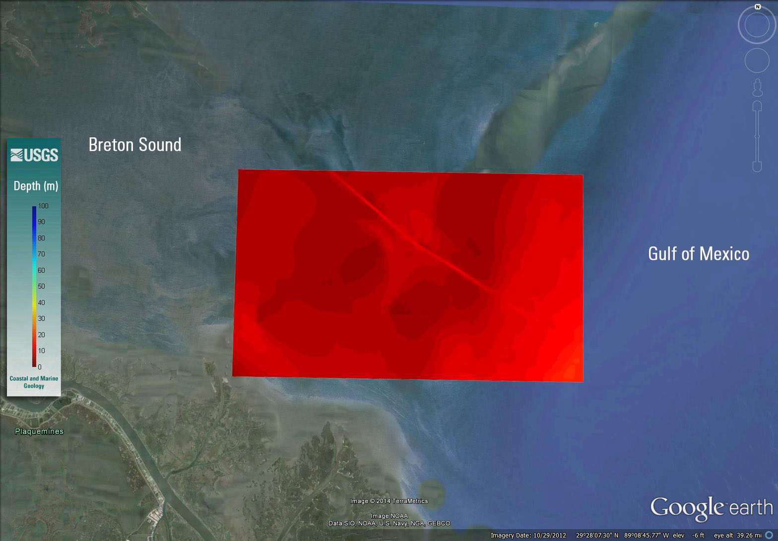
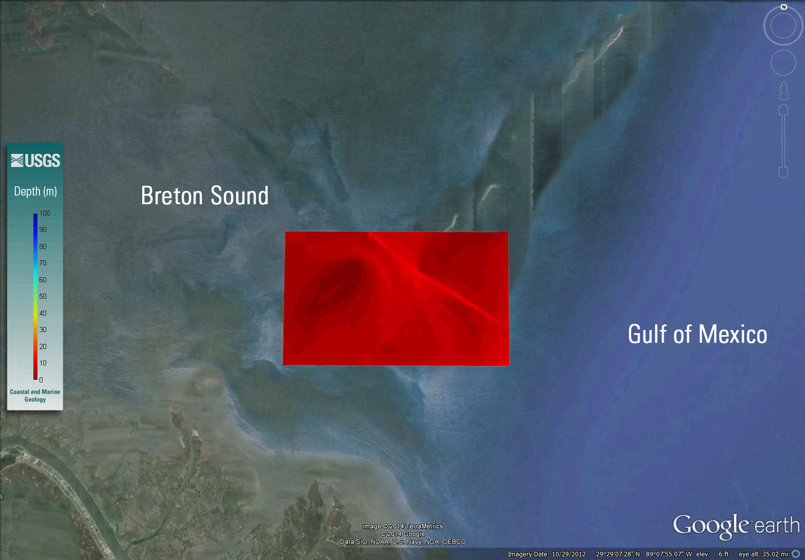
Four different model grids were developed to run each model scenario in order to nest model boundary results at increasingly finer scales. The first grid "G1" with a resolution of 1500 m was used to generate boundary conditions for nested grid "G2". G2, with a resolution of 300 m, was used to generate boundary conditions for nested grid "G3" and G3, with a resoluton of 60 m, was used to generate boundary conditions for nested grid "G4". G4 has three different grids, each with a resolution of 20 m and a 10 m resolution over the island. The difference between the versions of G4 are the presence of borrow pit (with two different locations). The three versions are: G4 with no borrow pit "no pit", G4 with pit 1 configuaration "pit 1", and G4 with pit 2 configuration "pit 2". Metadata for grid G4 is the same for all three versions (no pit, pit 1, and pit 2).


