Open-File Report 20151057
Field Observations of Artificial Sand and Oil Agglomerates
Title Page | List of Figures | List of Tables | Conversion Factors | Abbreviations | Abstract | Introduction | Methods | Data Processing | Data Catalog | Acknowledgments | References Cited | Index
 |
||
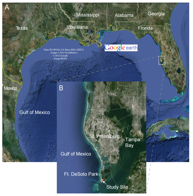
| Figure 2. A, Map showing the Gulf of Mexico with B, the location of the artificial sand and oil agglomerate (aSOA) field deployment indicated (red star). | ||

![]() U.S. Department of the Interior |
U.S. Geological Survey
U.S. Department of the Interior |
U.S. Geological Survey
URL: http://pubsdata.usgs.gov/pubs/of/2015/1057/ofr2015-1057_figure2.html
Page Contact Information: GS Pubs Web Contact
Page Last Modified: Wednesday, 07-Dec-2016 21:42:21 EST
