Data Series 1032
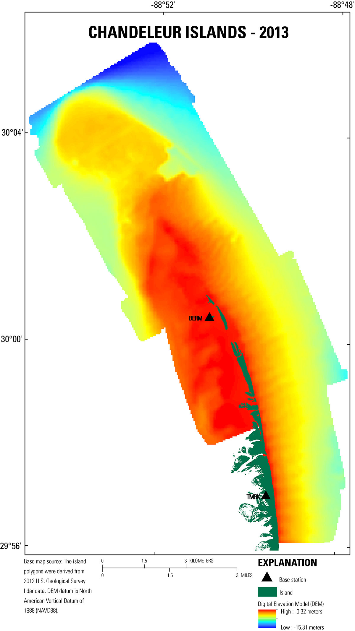
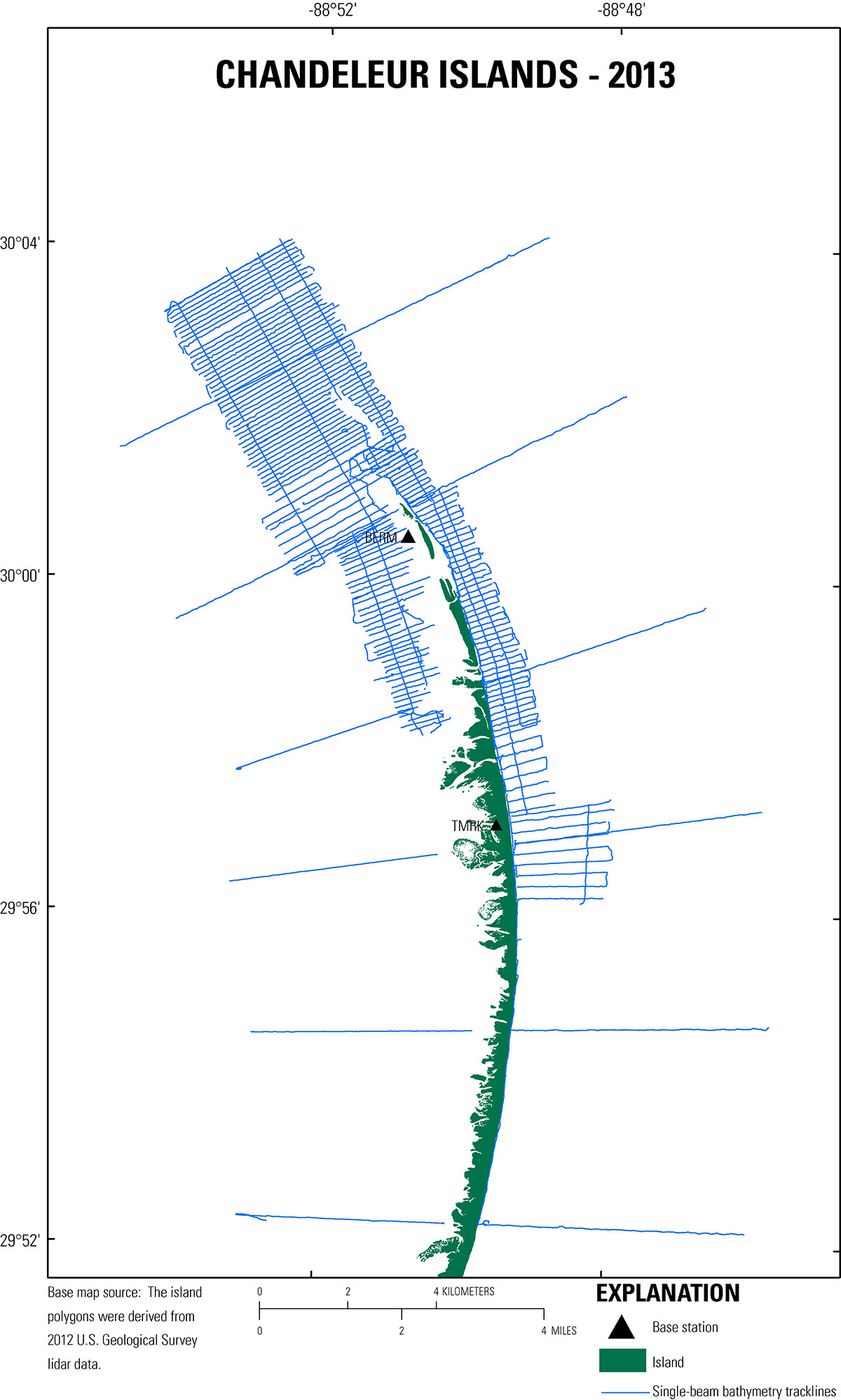
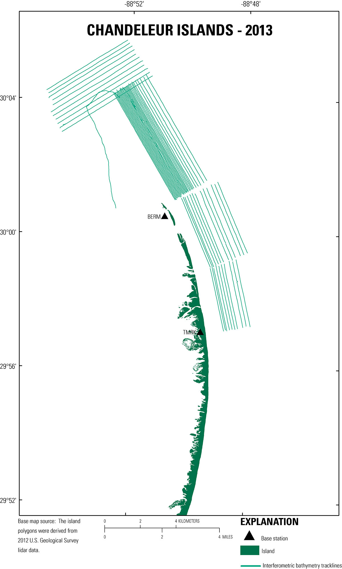
| Data DownloadsThe bathymetry DEM is presented in GeoTiff format and can be opened directly in Esri ArcGIS 10.2 or higher. The map documents and shapefiles provided in this report were created in Esri ArcGIS 10.2.2, and all vector and raster files are included with the Geographic Information System (GIS) zipped GIS project that can be downloaded from the table below. The data layers provided may also be viewed using the free GIS viewer ArcGIS Explorer (http://www.esri.com/software/arcgis/explorer). All data files presented in this report use the projected coordinate system North American Datum of 1983 (NAD83), Universal Transverse Mercator (UTM) Zone 16 North (16N), and all elevations are North American Vertical Datum of 1988 (NAVD88) orthometric heights, derived from the GEOID09 geoid model unless otherwise indicated. NOTE: These data are scientific in nature and are not to be used for navigation purposes. Any use of trade names is for descriptive purposes only and does not imply endorsement by the U.S. Government.
|

![]() U.S. Department of the Interior |
U.S. Geological Survey
U.S. Department of the Interior |
U.S. Geological Survey
URL: http://pubsdata.usgs.gov/pubs/ds/1032/ds1032_data-downloads.html
Page Contact Information: GS Pubs Web Contact
Page Last Modified: Thursday, 05-Jan-2017 14:37:41 EST