Data Series 1032
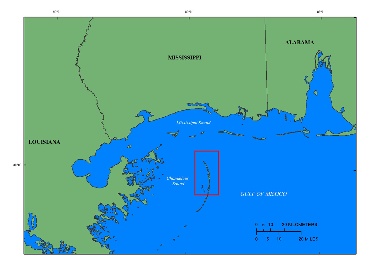
| IntroductionThe Chandeleur Islands are a crescent-shaped chain of barrier islands located about 40 kilometers (km) east of the Mississippi River Delta in Louisiana (fig. 1). The islands are a relic of the St. Bernard delta lobe of the Mississippi River that was active approximately 2,000 to 4,000 years ago until the river avulsed and sedimentation shifted to the west (Twichell and others, 2009, 2011). A lack of new sediment, continued erosion and subsidence of the former deltaic headland, and frequent impact by tropical storm systems has made the Chandeleur Islands exceptionally vulnerable to land loss in recent decades. Between June 2010 and April 2011, the State of Louisiana constructed a sand berm extending more than 14 kilometers (km) alongshore, and adjacent to, the northern Chandeleur Islands in response to the April 20, 2010, Deepwater Horizon oil spill (Lavoie and others, 2010; Plant and Guy, 2013a,b, 2014). The emplacement of this berm provided a unique opportunity to build on extensive U.S. Geological Survey (USGS) research that focused on the regional geologic framework and evolution of the Chandeleur Islands and the short-term impacts extreme storms have on this barrier-island system (Baldwin and others, 2009; Lavoie, 2009; Twichell and others, 2009; Kindinger and others, 2013). As part of the Barrier Island Evolution Research (BIER) project, scientists from the USGS St. Petersburg Coastal and Marine Science Center (SPCMSC) are conducting a series of seafloor mapping surveys to quantify morphologic, lithologic, and subsurface changes in the nearshore around the Chandeleur Islands. The high resolution geophysical data collected in each of three consecutive years along this rapidly changing barrier-island system will provide a unique time-series dataset that will significantly further the geomorphological analyses and interpretations of this and other coastal systems, and improve our understanding of coastal response and evolution over short time scales (1‒5 years). This data series includes the bathymetric data collected in July and August, 2013 (USGS Field Activity Numbers [FAN], 13BIM02, 13BIM03, 13BIM04, 13BIM07, and 13BIM08), while the seismic-reflection data for the same cruise (13BIM02 and 13BIM07) is reported by Forde and others (2014). Other USGS geophysical publications relevant to this study area include Baldwin and others (2009), Morton and Rogers (2009), Smith and others (2009), Twichell and others (2009, 2011), DeWitt and others (2010, 2012a,b,c, 2014), Flocks and others (2011), Forde and others (2011a,b,c,d, 2012, 2014), Pendleton and others (2011), Pfeiffer and others (2011), Buster and others (2012, 2014), Kindinger and others (2013), Bernier and others (2014), and Fredericks and others (2016). Processed Geographic Information system data, maps, and formal Federal Geographic Data Committee (FGDC) metadata can be downloaded from the data downloads page. |

![]() U.S. Department of the Interior |
U.S. Geological Survey
U.S. Department of the Interior |
U.S. Geological Survey
URL: http://pubsdata.usgs.gov/pubs/ds/1032/ds1032_introduction.html
Page Contact Information: GS Pubs Web Contact
Page Last Modified: Wednesday, 04-Jan-2017 15:39:46 EST