Data Series 1049
1U.S. Geological Survey.
2Cherokee Nation Technology Solutions.
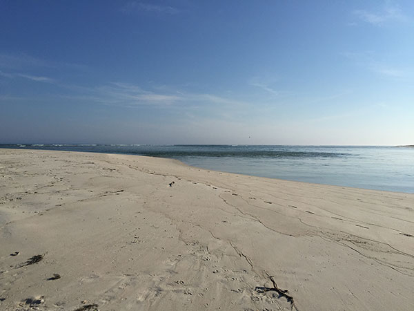
| Abstract East shore of the wilderness breach (foreground) and ebb tidal delta (background) on May 8, 2015 (Photograph Credit: Timothy R. Nelson). [Click to enlarge] Scientists from the U.S. Geological Survey (USGS) St. Petersburg Coastal and Marine Science Center in St. Petersburg, Florida, conducted a bathymetric survey of Fire Island from May 6-20, 2015. The USGS is involved in a post-Hurricane Sandy effort to map and monitor the morphologic evolution of the wilderness breach as a part of the Hurricane Sandy Supplemental Project GS2-2B. During this study, bathymetry data were collected with single-beam echo sounders and Global Positioning Systems, which were mounted to personal watercraft, along the Fire Island shoreface and within the wilderness breach. Additional bathymetry and elevation data were collected using backpack Global Positioning Systems on flood shoals and in shallow channels within the wilderness breach. AcknowledgmentsThe authors are grateful to Chris Soller, Mike Bilecki, and Jordan Raphael with the National Park Service, Fire Island National Seashore, who provided permitting, access, and assistance with field logistics. We appreciate all the hard work of Dave Thompson, Kyle Kelso, and Jake Fredericks, the additional field crew from the USGS St. Petersburg Coastal and Marine Science Center. We also would like to thank Karen Morgan, Nancy Dewitt, and Stokely Klasovsky for their thorough and helpful reviews. Suggested CitationNelson, T.R., Miselis, J.L., Hapke, C.J., Brenner, O.T., Henderson, R.E., Reynolds, B.J., Wilson, K.E., 2017, Coastal bathymetry data collected in May 2015 from Fire Island, New York—Wilderness breach and shoreface: U.S. Geological Survey Data Series 1049, https://doi.org/10.3133/ds1049. ContactTimothy R. NelsonU.S. Geological Survey St. Petersburg Coastal and Marine Science Center 600 4th Street South St. Petersburg, FL 33701 (727) 502-8098 trnelson@usgs.gov |