
U. S. Geological Survey Open-File Report 01-154
|
|
U. S. Geological Survey Open-File Report 01-154 |
SEA-FLOOR PHOTOGRAPHY FROM THE CONTINENTAL MARGIN PROGRAM:A Pictorial Survey of Benthic Character and Habitats
|
|||||||||||||||||||||||||||||||||||||||||||||||||||||||||||||
|
GIS Data
|
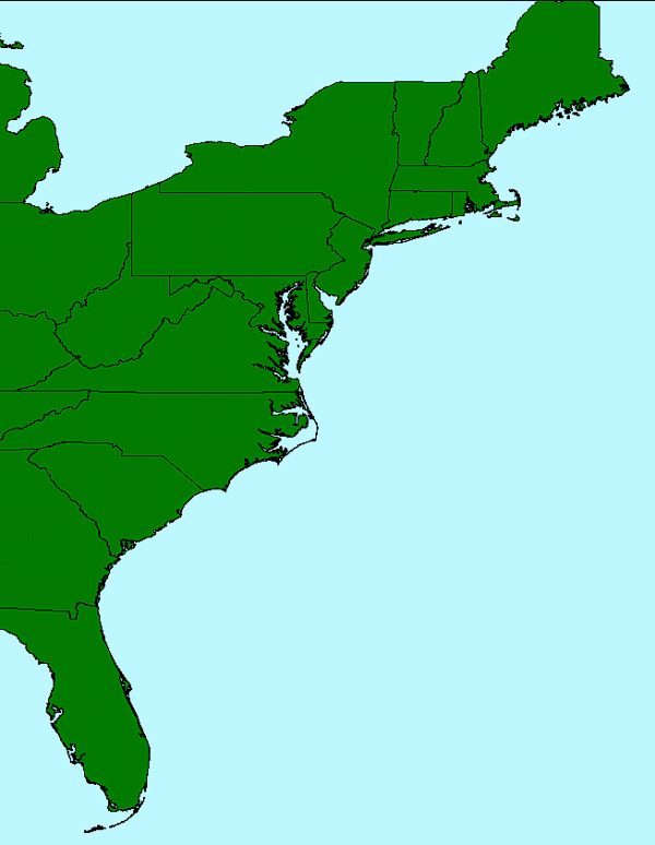
GIS Data LayersThis CD-ROM contains several data layers (or themes) that are used to create a geographic planar view of the US East Coast. The locations of the bottom photos may be viewed over a color encoded shaded relief image of the US East Coast. The data presented here are intended to be GIS-ready in as much as the data do not require any additional cleanup, formatting, renaming of fields or other "data work" to use the data in the GIS of choice. This projects uses the Environmental Systems Research Institute's (ESRI) ArcView as it's Geographic Information System (GIS) mapping tool. Data layers archived here should not require additional processing to be utilized within the ESRI software. This does not mean that a user will not wish to do additional processing, especially if utilizing a different GIS software package or spheroid, but that it is not necessary to do additional processing simply to utilize the data in its minimum archive format. Vector DataThe vector data includes a single point data layer, bphotos, that provides the bottom photograph locations and attribute information. Other vector data are polygon themes and include data layers such as a US shapefile, US lakes, provinces of Canada neighboring the US and the Caribbean islands.
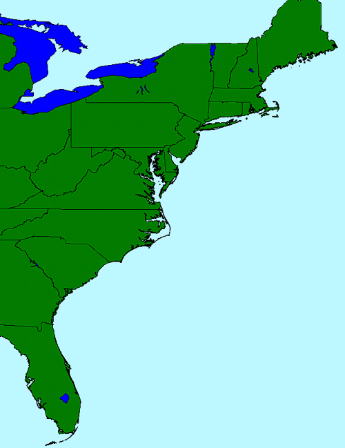
IMAGERYThe raster image included with this data distribution provides a color encoded shaded relief image of seafloor and topography for the US East Coast. The images has been archived in GEOTIFF format to ease importing into various GIS software and/or image analysis software.
Copying the Data Layers If a user wishes to copy the vector data from the CD to a computer hard drive, please note that you must copy the selected files to the same directory/folder. At minimum, you must copy the 'dbf', 'shp' and 'shx' as these three files together make up the ArcView shapefile. A zip file containing all the listed shapefile components is also available. The imagery file, topo.tif, may be copied from this CD as a single file. It is in a GEOTIFF format and has it's georeferencing information embedded in the TIFF header. However, for some applications, such as ArcView, the user may also need to copy the associated world file to the same directory/folder as the image file. |
||||||||||||||||||||||||||||||||||||||||||||||||||||||||||||