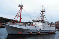
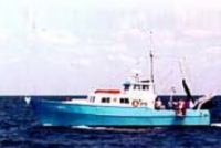
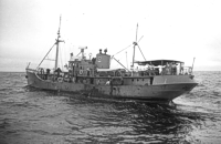
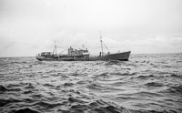
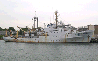
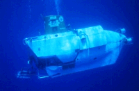
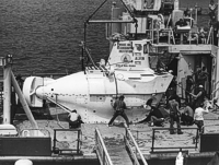
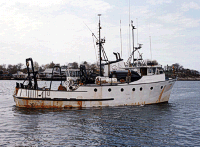
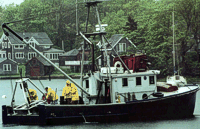
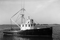
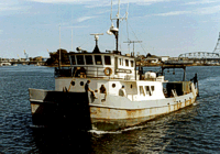
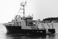
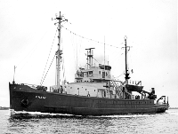
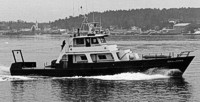
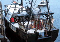
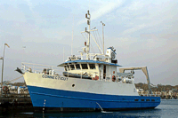
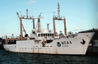
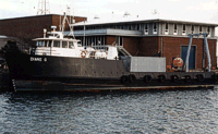
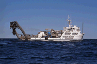
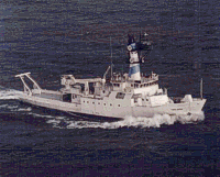
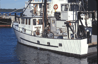
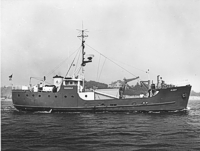
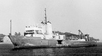
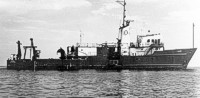
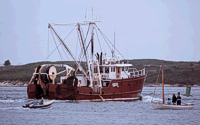
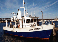
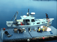
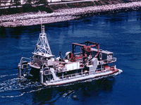
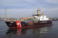
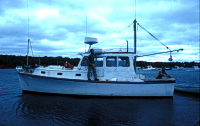
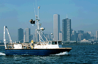
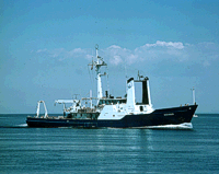
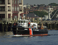
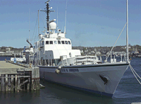
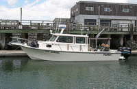
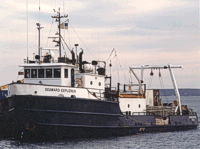
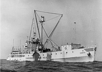
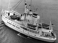
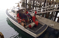
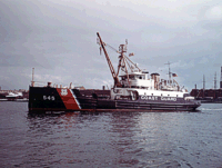
skip header
USGS: science for a changing world - www.usgs.gov
U.S. Geological Survey Open-File Report 03-001
Surficial Sediment Data from the Gulf of Maine, Georges Bank, and Vicinity: A GIS Compilation

PHOTO GALLERY: Ships

Skip Table of Contents group; go to Ships GalleryOFR03-001 Home: return to OFR03-001 homepageINTRODUCTION: Go to introduction and project background descriptionNOMENCLATURE: Go to the section describing size distributions and sediment classificationBROWSE MAPS: Go to browse map and view images showing sediment data distributionDATA CATALOG: Go to data catalog and browse data and metadata listDATA DICTIONARY: Go to data dictionary describing data field attributesPHOTO GALLERY: current selectionblankred bullet Ships Gallery
red bullet Samplers
blankREFERENCES: Go to bibliography listing to view suggested referencesACKNOWLEDGMENTS: view acknowledgmentsACKNOWLEDGMENTS: current selectionCONTACTS: view contact informationDISCLAIMER: view disclaimer informationREADME: view readme informationblank.

This gallery contains photos of the various ships used during the field collection of the samples  presented in this report.  Several of the ships shown here are no longer used.

ABEL J a vessel used during a mapping program in the Stellwagen Bank National Marine Sanctuary.   A port-side view of the A E VERRILL at sea.
Port-side view of the ALBATROSS III at sea. A starboard-side view of the ALBATROSS III at sea.
Albstross IV at dock in Woods Hole, Massachusetts. The submersible ALVIN operated by the Woods Hole Oceanographic Institution.
The submersible ALVIN during deployment. Starboard-side view of the vessel RV ARGO MAINE owned and operated by the University of Maine.
The Woods Hole Oceanographic Institution vessel RV ASTERIAS during deployment of a damped corer. The original Woods Hole Oceanographic Institution vessel RV ASTERIAS which was used for numerous coastal studies until she was destroyed by fire.
Photo shows the ATLANTIC TWIN. Image shows the RV ATLANTIS, which was used during the Continental Margin Program
Photo showing a port-side view of the RV Cape Hatteras off the Maine coast. A full view of the WHOI ship RV CHAIN at sea.
Photo shows the Maine Department of Marine Resources vessel RV CHALLENGE. Vessel CHRISTOPHER ANDREW.
RV CONNECTICUT, operated by the University of Connecticut. The NOAA vessel DELAWARE II docked at the National Marine Fisheries Service facility in Woods Hole, Massachusetts.
A port-side view of the DIANE G at the WHOI dock in Woods Hole, Massachusetts. A starboard side view of the Harbor Branch Oceanographic's vessel EDWIN LINK at sea.
An aerial view of the University of Rhode Island vessel RV ENDEAVOR at sea. An aerial view of the NOAA ship FERREL at sea.
Port-side view of the NOAA ship FERREL at sea. Image shows a port-side view of the RV FRIENDSHIP.
A starboard-side view of the RV GOSNOLD steaming toward sea from Woods Hole Harbor. A port-side view of the RV GYRE steaming into Woods Hole Harbor.
Photo of the RV Gyre at sea. A starboard-side view of the ISABEL S steaming into Woods Hole Harbor.
The Connecticut Department of Environmental Protection vessel the RV JOHN DEMPSEY docked in her home port on the Connecticut River. The RV LEE at dock with gear being loaded.
An aerial view of the RV LULU, a catamaran operated by the Woods Hole Oceanographic Institution (WHOI). A port-side view of the US Coast Guard vessel MARCUS HANNA.
A port-side view of the RV MISS BESS at mooring. Starboard-side view of the USGS vessel NEECHO.
A starboard-side view of the RV OCEANUS at sea. A port-side view of the Coast Guard vessel PENDANT under way.
The converted gun boat PETER W. ANDERSON dockside. A port-side view of the USGS vessel RAFAEL.
A port-side view of the SEAWARD EXPLORER. A starboard-side view of the University of Rhode Island vessel RV TRIDENT.
A port-side view of the University of Rhode Island vessel RV TRIDENT, at sea. Coast Guard Vessel 41, which was used in support of USGS monitoring studies in Boston Harbor.
A port-side view of the US Coast Guard vessel WHITE HEATH.

skip index

OFR03-001 Home | Introduction | Nomenclature | Browse Maps | Data Catalog | Data Dictionary

[an error occurred while processing this directive]