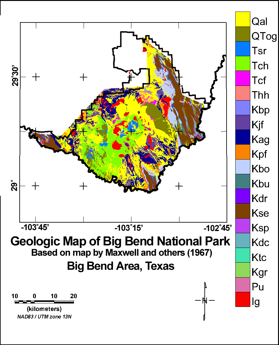
The geologic map shown below (Figure 2) is based upon a digital version of the Texas State Geologic Map. You can click on the colored squares of the geologic legend to obtain more information about the geologic units. Please note that the geologic units in the legend are not arranged in a complete stratigraphic sequence and should NOT be interpreted as such. Figure 3 is an image of a more detailed map of Big Bend National Park by Maxwell and others (1967).
Figure 2. Image of a digital version of part of the Texas State Geologic Map in the Big Bend area.

Figure 3. Image of digital version of the geologic map of the Big Bend National Park by Maxwell and others (1967). Click on the colored rectangles of the legend to see information about the geologic units.
Intro | Geology | Gamma-ray Data | Landsat Data | Maps | Discussion | Conclusions | Listing of Data Files | References | Tutorial