U.S. Geological Survey Open-File Report 2009-1137
Quaternary Geologic Framework of the St. Clair River between Michigan and Ontario, Canada
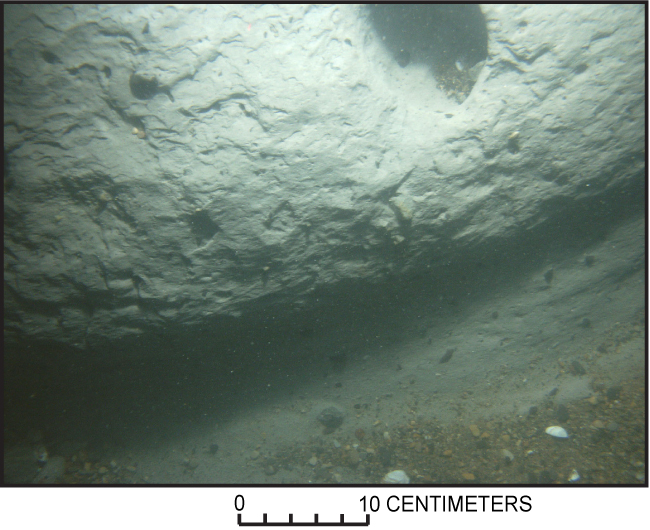
Figure 22. Photograph showing a ledge of glacial till exposed at the riverbed in the northernmost St. Clair River area. Apparently, the till has been scoured and undercut. The void at the upper shows where a clast about 10 cm in diameter has been eroded from the till. (See fig. 20 for the location of this photograph; photograph by D. Foster, U.S. Geological Survey.) |
 |

![]() U.S. Department of the Interior |
U.S. Geological Survey
U.S. Department of the Interior |
U.S. Geological Survey
URL: https://pubsdata.usgs.gov/pubs/of/2009/1137/html/figure22.html
Page Contact Information: Contact USGS
Page Last Modified: Wednesday, 07-Dec-2016 21:58:23 EST
