U.S. Geological Survey Open-File Report 2011-1113
Summary of Oceanographic and Water-Quality Measurements in West Falmouth Harbor and Buzzards Bay, Massachusetts, 2009-2010
Title Page / List of Figures / Conversion Factors / Abstract / Introduction / Instruments / Site Description / Mooring Log / Results / Acknowledgments / References Cited / Appendix
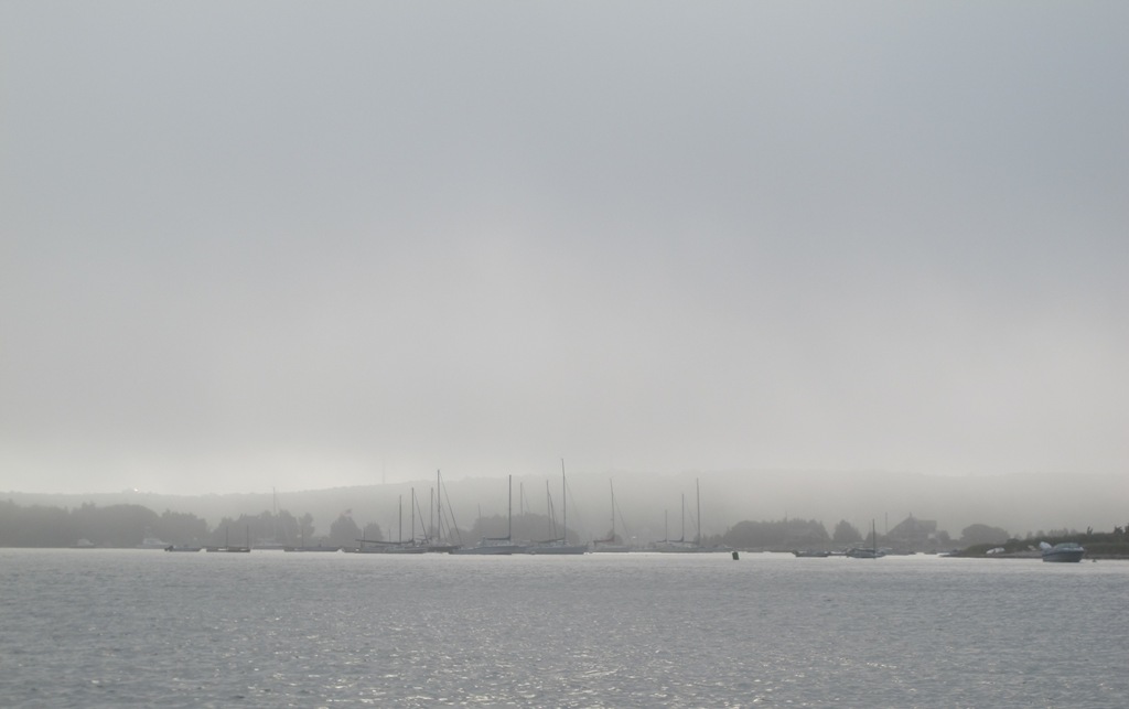
Figure 1. Photograph of West Falmouth Harbor, looking east from the harbor entrance near Buzzards Bay.
Download the full size image in PDF format.
To view files in PDF format, download a free copy of Adobe Reader.