U.S. Geological Survey Open-File Report 2011-1113
Summary of Oceanographic and Water-Quality Measurements in West Falmouth Harbor and Buzzards Bay, Massachusetts, 2009-2010
/ Title Page / List of Figures / Conversion Factors / Abstract / Introduction / Instruments / Site Description / Mooring Log / Results / Acknowledgments / References Cited / Appendix
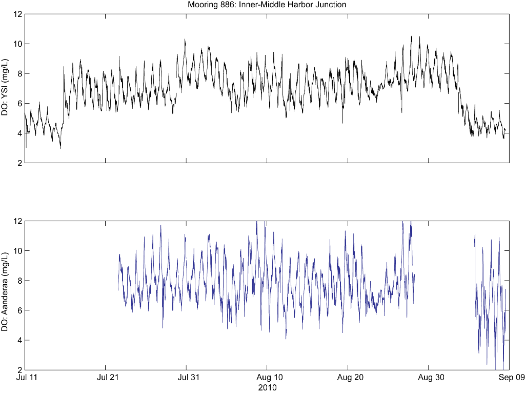
Figure 22. Comparison of dissolved oxygen (DO) measurements from YSI 6920 sensor and Aanderaa Optode at mooring 886, Inner-Middle Harbor Junction. Abbreviation: mg/L, milligrams per liter.
Download the full size image in PDF format.
To view files in PDF format, download a free copy of Adobe Reader.