U.S. Geological Survey Open-File Report 2011-1113
Summary of Oceanographic and Water-Quality Measurements in West Falmouth Harbor and Buzzards Bay, Massachusetts, 2009-2010
/ Title Page / List of Figures / Conversion Factors / Abstract / Introduction / Instruments / Site Description / Mooring Log / Results / Acknowledgments / References Cited / Appendix
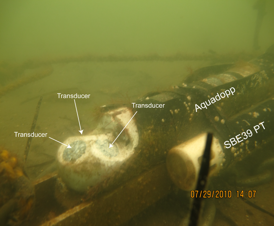
Figure 7. Upward-looking Nortek Aquadopp and Seabird 39 PT sensor deployed on the seabed (moorings 882, 885, 887). White paste on transducers is zinc oxide, used to reduce biological growth, which interferes with signal transmission.
Download the full size image in PDF format.
To view files in PDF format, download a free copy of Adobe Reader.