U.S. Geological Survey Open-File Report 2011-1113
Summary of Oceanographic and Water-Quality Measurements in West Falmouth Harbor and Buzzards Bay, Massachusetts, 2009-2010
/ Title Page / List of Figures / Conversion Factors / Abstract / Introduction / Instruments / Site Description / Mooring Log / Results / Acknowledgments / References Cited / Appendix
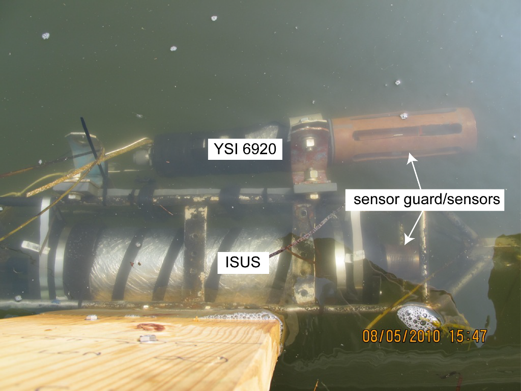
Figure 8. Satlantic ISUS nitrate sensor and YSI 6920 multiparameter sonde deployed on floating dock at 0.12 meters below surface (mooring 883).
Download the full size image in PDF format.
To view files in PDF format, download a free copy of Adobe Reader.