U.S. Geological Survey Open-File Report 2012-1099
Summary of Oceanographic and Water-Quality Measurements near the Blackwater National Wildlife Refuge, Maryland, 2011
/ Title Page / List of Figures / Conversion Factors / Abstract / Introduction / Instruments / Site Description / Mooring Log / Results / Acknowledgments / References Cited / Appendix
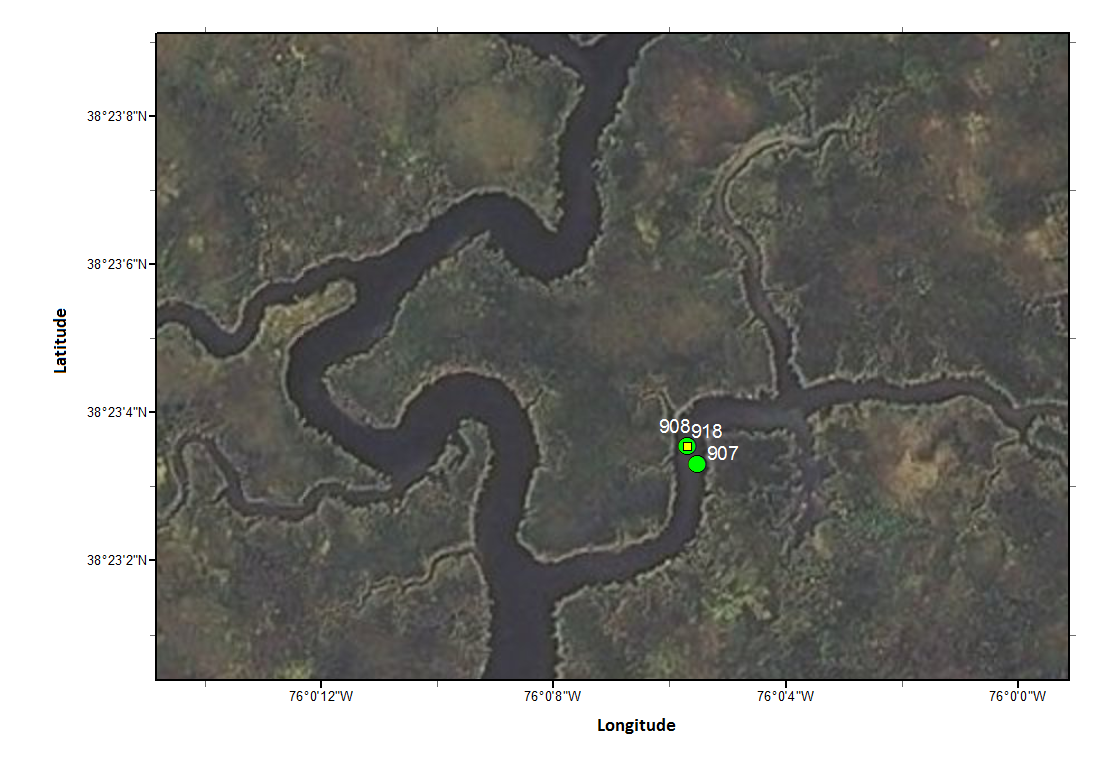
Figure 2C. Enlarged view of Transquaking River upstream sites. Green markers indicate the spring deployment, and yellow one the fall. This figure was created with ESRI ArcGIS using the i-cubed Nationwide Prime database (June 2012).
Download the full size image in PDF format.
To view files in PDF format, download a free copy of Adobe Reader.