Open-File Report 2014-1221
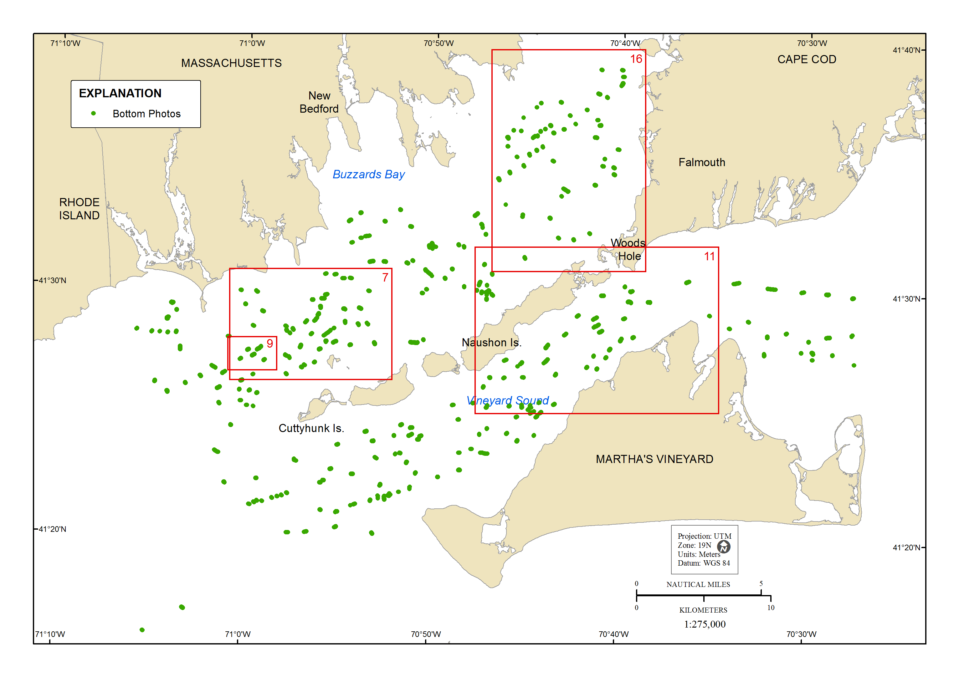 |
Figure 6. Map showing locations of 2,426 bottom photographs, which were classified according to the Coastal and Marine Ecological Classification Standard (CMECS), specifically the Benthic Biotic Component. Red rectangles indicate areas of detail shown in figures 7, 9, 11, and 16. Is., Island; UTM, Universal Transverse Mercator; WGS 84, World Geodetic System of 1984. |

![]() U.S. Department of the Interior |
U.S. Geological Survey
U.S. Department of the Interior |
U.S. Geological Survey
URL: http://pubsdata.usgs.gov/pubs/of/2014/1221/html/imagepages/ofr2014-1221-figure06.html
Page Contact Information: GS Pubs Web Contact
Page Last Modified: Wednesday, 07-Dec-2016 20:03:14 EST

