Open-File Report 2014-1224
![]() Title |
List of Figures |
Conversion Factors |
Abstract |
Introduction |
Setting |
Methods |
Bathymetry |
Sidescan Sonar |
Sediments |
Bottom Photography |
Interpretation |
GIS Data Catalog |
Summary |
Acknowledgments |
References |
Contacts |
Index
Title |
List of Figures |
Conversion Factors |
Abstract |
Introduction |
Setting |
Methods |
Bathymetry |
Sidescan Sonar |
Sediments |
Bottom Photography |
Interpretation |
GIS Data Catalog |
Summary |
Acknowledgments |
References |
Contacts |
Index
 |
||
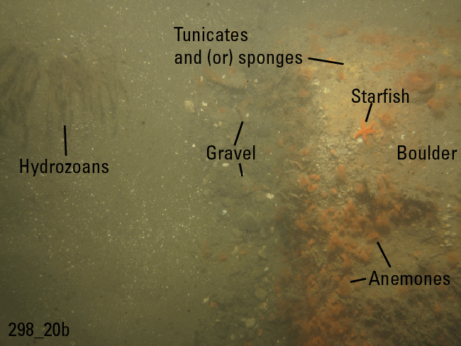
Figure 26. Photograph of a boulder at station 298_20. The boulder is covered with anemones, hydrozoans, barnacles, starfish, and tunicates and (or) sponges. Gravel and sand with scattered shell hash can be seen on the sea floor. Photograph location is shown in figure 25. |
||