Skip Links

USGS - science for a changing world

Open-File Report 2015-1149


Sea-Floor Morphology and Sedimentary Environments in Southern Narragansett Bay, Rhode Island


Skip past contents information
Click on figures for larger images
Thumbnail image of figure 17 and link to larger figure. Map showing photograph locations in the study area.
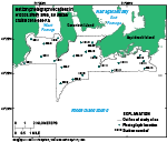
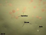
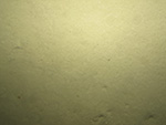
Figure 17. Map of the locations of photographs in the study area taken during U.S. Geological Survey cruise 2014-046-FA.
Thumbnail image of figure 18 and link to larger figure. Photograph of a sandy sea floor.
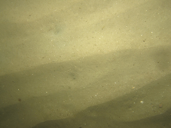
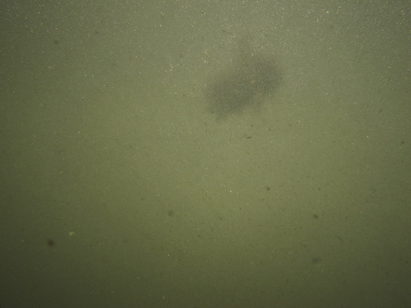
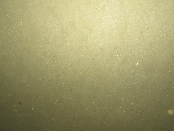
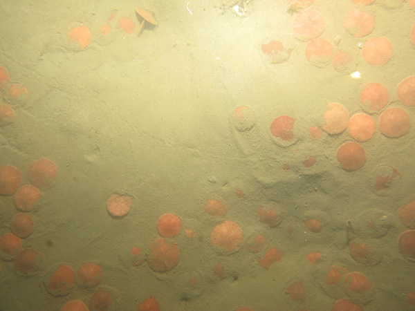
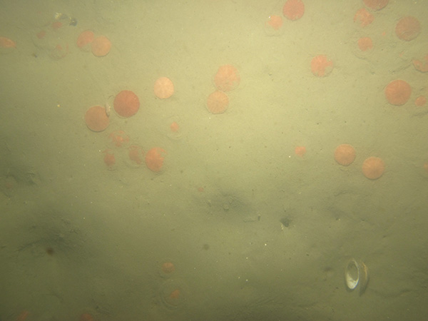
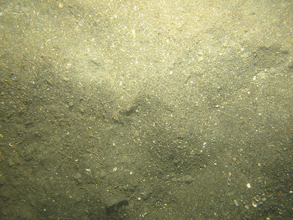
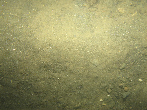
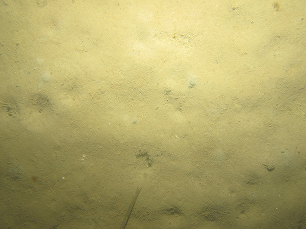
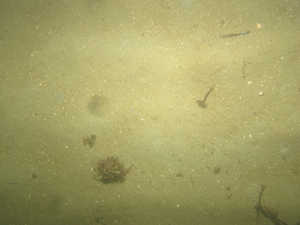
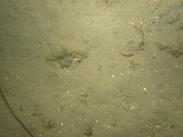
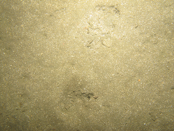
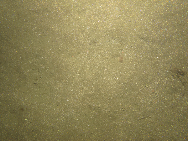
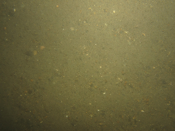
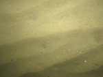
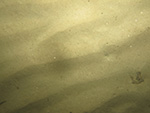
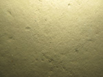
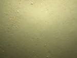
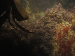
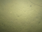
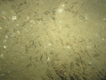
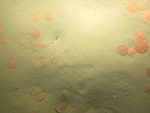
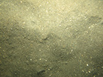
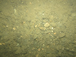
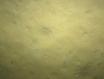
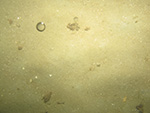
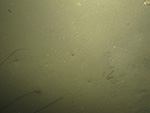
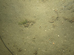
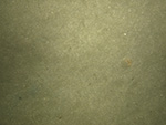
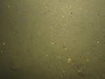
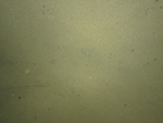
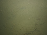
Figure 18. Photograph of a sandy sea floor at station 324-10.
Thumbnail image of figure 19 and link to larger figure. Photograph of a rocky sea floor.
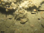
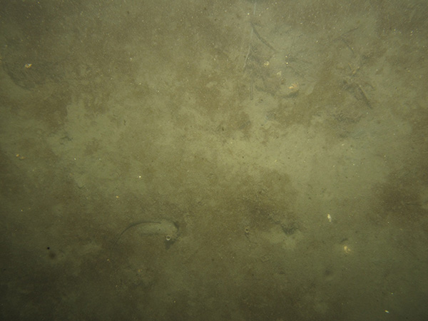
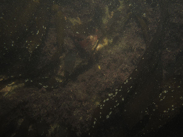
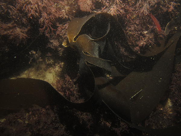
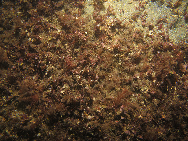
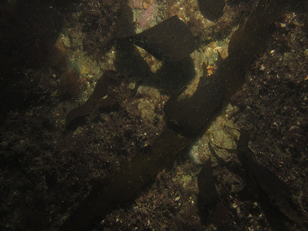
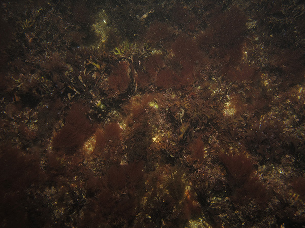
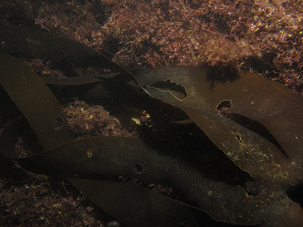
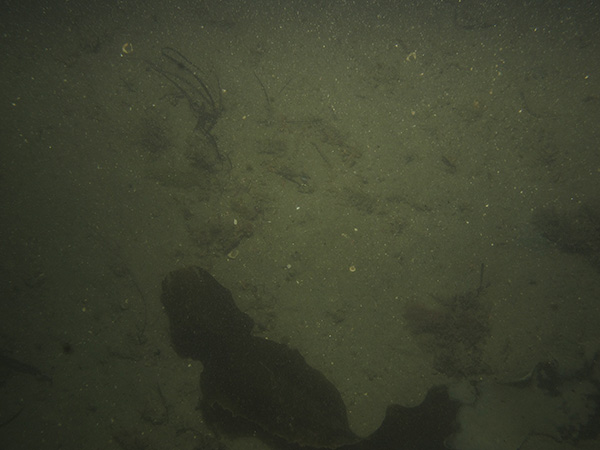
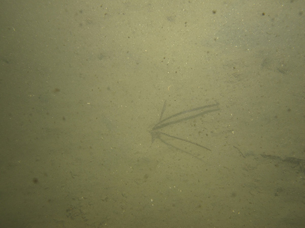
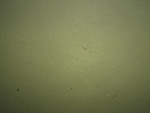
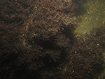
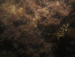
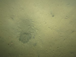
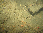
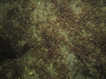
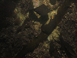
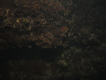
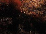
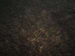
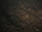
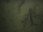
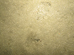
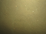
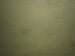
Figure 19. Photograph of exposed bedrock on the sea floor at station 324-9.

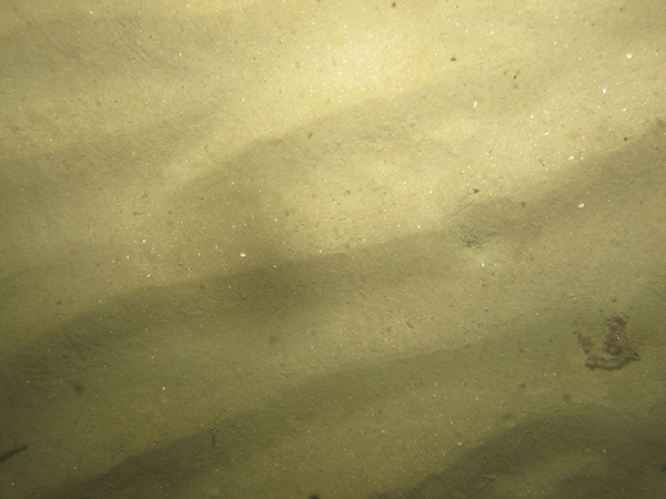
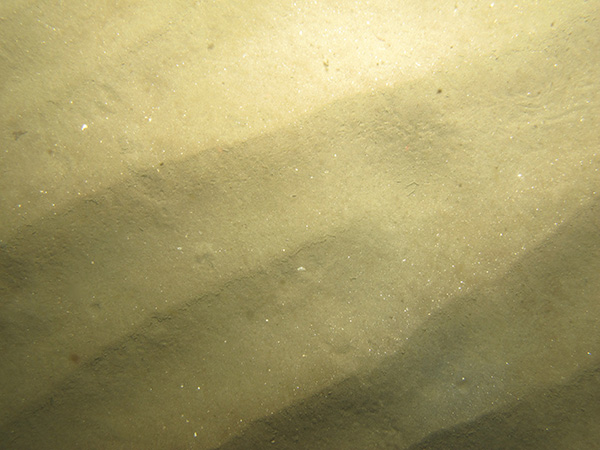
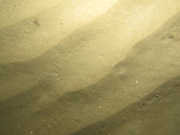
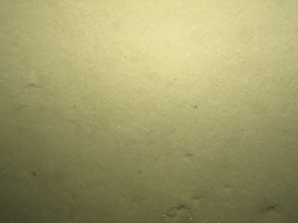
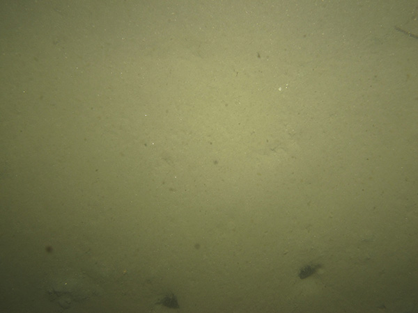
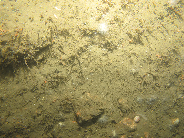
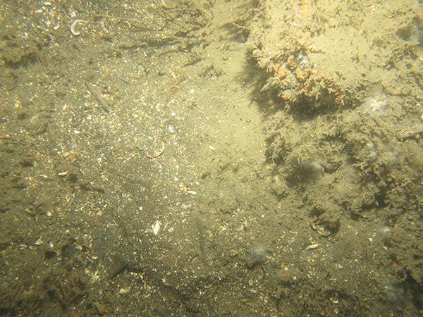
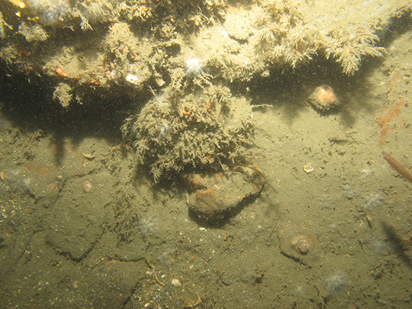
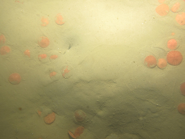
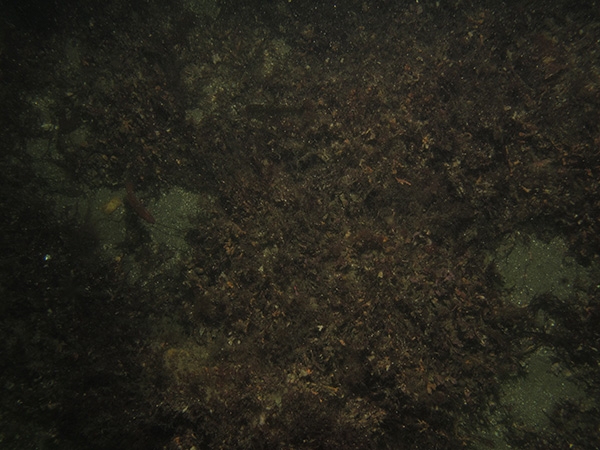
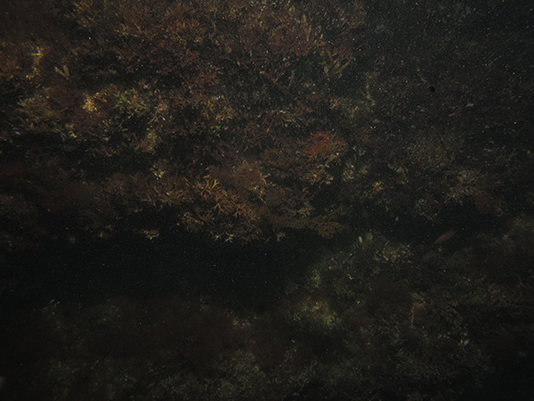
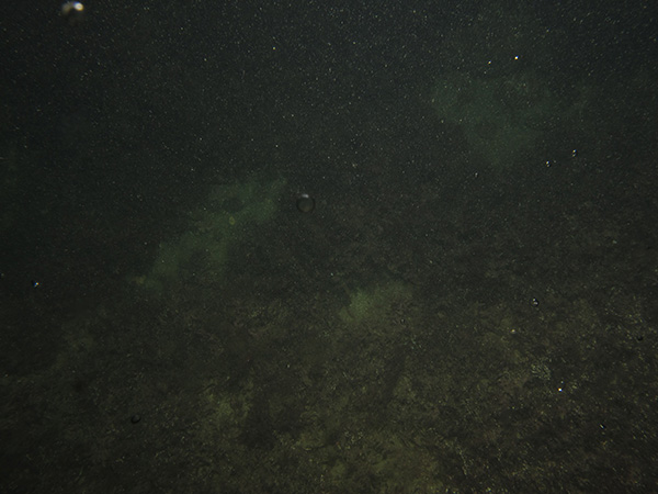
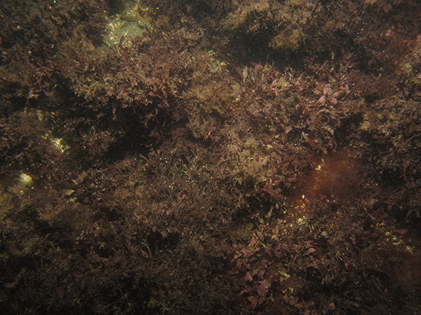
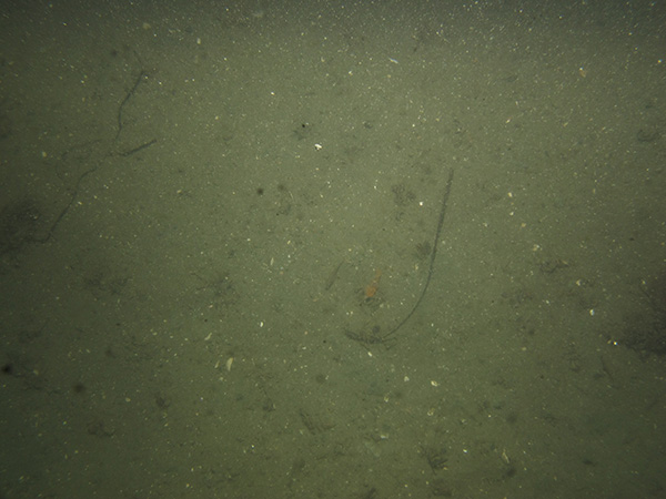
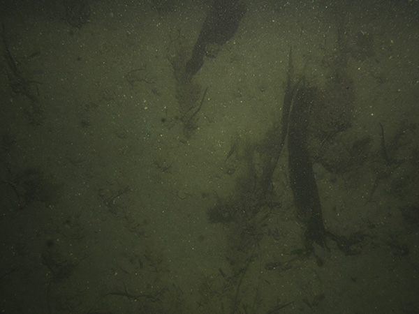
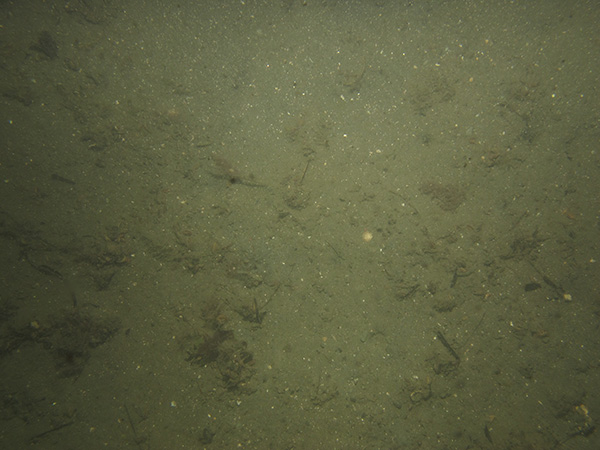
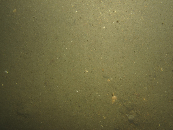
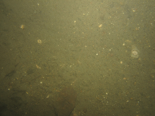
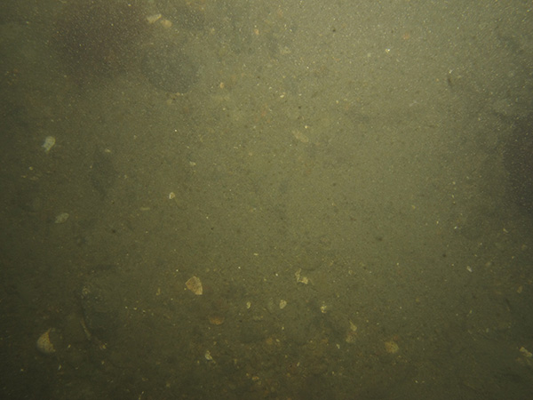
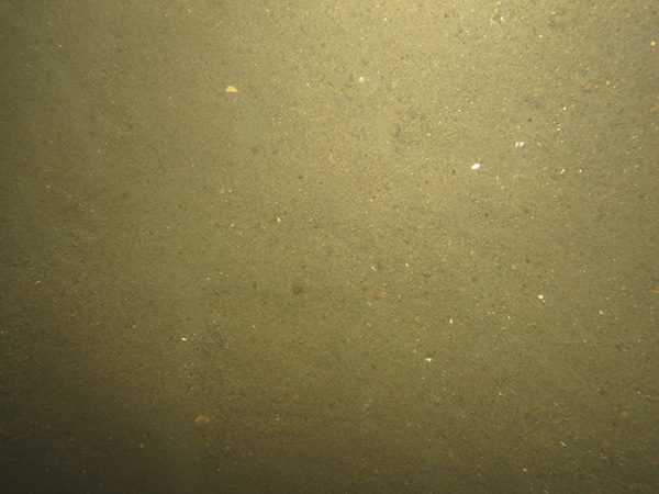
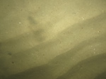
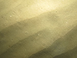
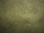
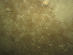
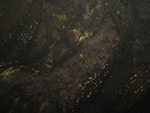
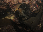
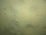
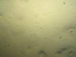
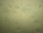
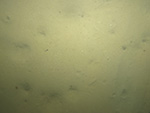
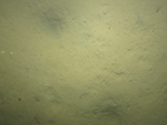
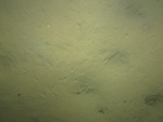
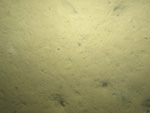
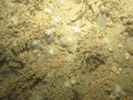
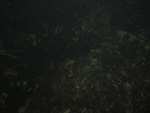
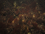
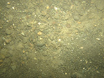
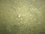
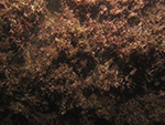
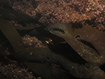
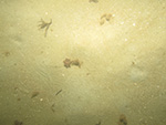
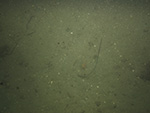
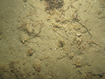
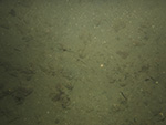
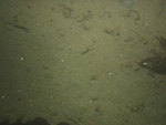
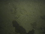
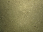
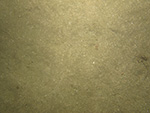
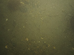
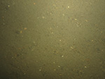
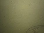
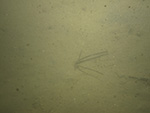
Bottom Photography

Several minutes of video and between two and seven still photographs were obtained at each station as the RV Rafael drifted over the sea floor (fig. 17). Bottom photography shows that silty areas tend to be characterized by numerous burrows in the sea floor, sandy areas commonly exhibit current-formed sand ripples and mobile marine life (such as worms, amphipods, sand dollars, and crabs; fig. 18), and areas with boulders and bedrock tend to be covered with algae, sponges, and hydrozoans (fig. 19).

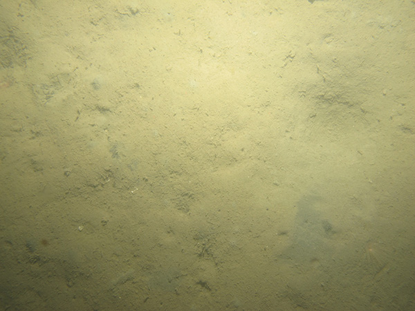
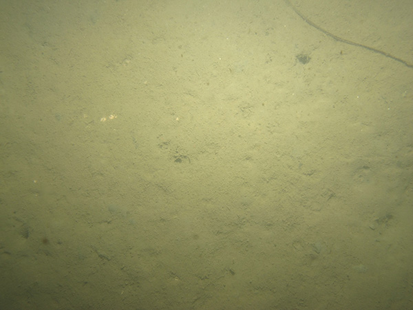
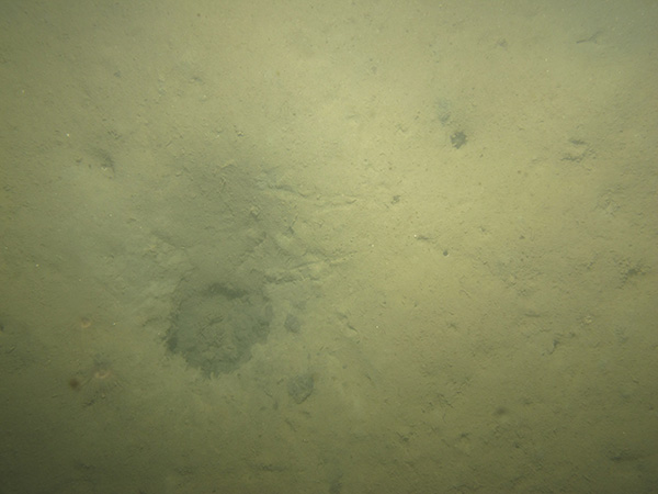
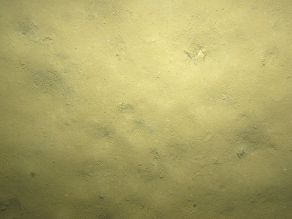
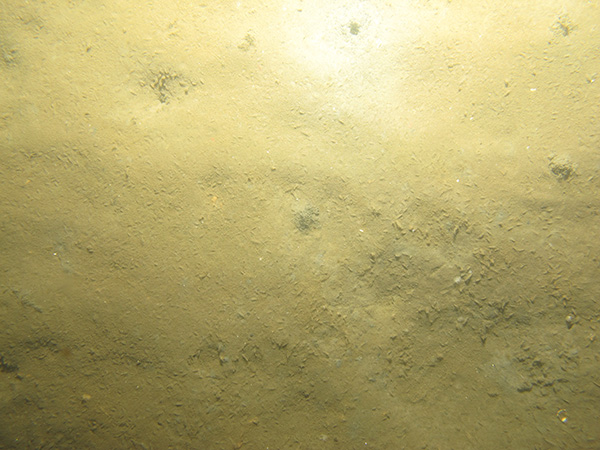
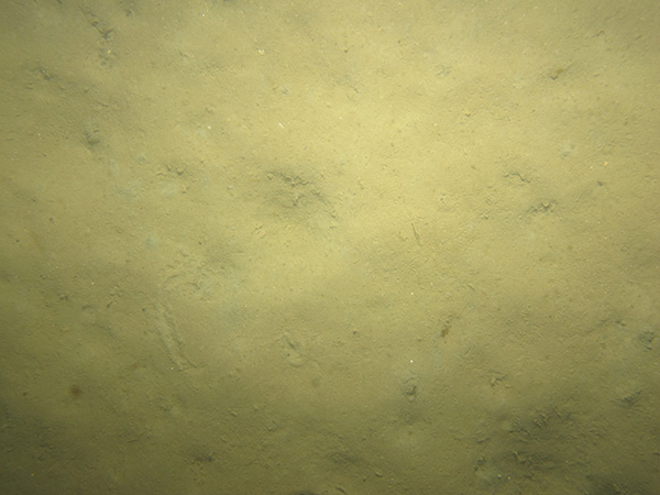
Low-resolution images (150 x 113 pixels) of the photographs may be viewed by browsing the thumbnails in the “Photograph Gallery” section. These thumbnails are linked to medium-resolution images (600 x 450 pixels) for more detailed viewing. A .zip file with all the medium-resolution images is also available with this report. The .zip file also contains metadata about the photographs and their acquisition. In addition, a .zip file containing the full-resolution images (3,648 x 2,736 pixels) and metadata is also part of this report. The images can be identified by using the .jpg image names in the “Photograph Gallery” section.

Photograph Gallery

Station  /   Lithologic Description

324-1 / Current-rippled sand with scattered shells and shell hash.

Photograph showing the sea floor in the study area.
324-1a
Photograph showing the sea floor in the study area.
324-1b
Photograph showing the sea floor in the study area.
324-1c
 
Photograph showing the sea floor in the study area.
324-1d
Photograph showing the sea floor in the study area.
324-1e


324-2 / Sandy silt with burrows, kelp and other algae, worm tubes, and shells.

Photograph showing the sea floor in the study area.
324-2a
Photograph showing the sea floor in the study area.
324-2b


324-3 / Silty sand with shell hash and amphipods.

Photograph showing the sea floor in the study area.
324-3a
Photograph showing the sea floor in the study area.
324-3b
Photograph showing the sea floor in the study area.
324-3c
Photograph showing the sea floor in the study area.
324-3d


324-4 / Silty sand with burrows, worm tubes, amphipods, hermit crabs, shells, and animal tracks.

Photograph showing the sea floor in the study area.
324-4a
Photograph showing the sea floor in the study area.
324-4b
Photograph showing the sea floor in the study area.
324-4c
 
Photograph showing the sea floor in the study area.
324-4d
Photograph showing the sea floor in the study area.
324-4e


324-5 / Bedrock covered with kelp and other algae, with patches of sand and shells.

Photograph showing the sea floor in the study area.
324-5a
Photograph showing the sea floor in the study area.
324-5b


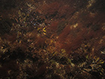
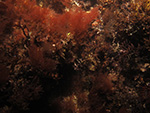
324-6 / Bedrock covered with kelp and other algae. Fish are present.

Photograph showing the sea floor in the study area.
324-6a
Photograph showing the sea floor in the study area.
324-6b
Photograph showing the sea floor in the study area.
324-6c
 
Photograph showing the sea floor in the study area.
324-6d
Photograph showing the sea floor in the study area.
324-6e


324-7 / Silty sand with burrows, animal tracks, and fan worms.

Photograph showing the sea floor in the study area.
324-7a
Photograph showing the sea floor in the study area.
324-7b
Photograph showing the sea floor in the study area.
324-7c


Photograph showing the sea floor in the study area.
324-7d

324-8 / Sandy silt with burrows, amphipods, fan worms, animal tracks, and fish.

Photograph showing the sea floor in the study area.
324-8a
Photograph showing the sea floor in the study area.
324-8b
Photograph showing the sea floor in the study area.
324-8c
Photograph showing the sea floor in the study area.
324-8d
Photograph showing the sea floor in the study area.
324-8e
Photograph showing the sea floor in the study area.
324-8f


324-9 / Bedrock and boulders covered with algae, hydrozoans, sponges, and coral. Fish, starfish, shells, and worm tubes are present.

Photograph showing the sea floor in the study area.
324-9a
Photograph showing the sea floor in the study area.
324-9b
Photograph showing the sea floor in the study area.
324-9c
Photograph showing the sea floor in the study area.
324-9d
Photograph showing the sea floor in the study area.
324-9e
Photograph showing the sea floor in the study area.
324-9f


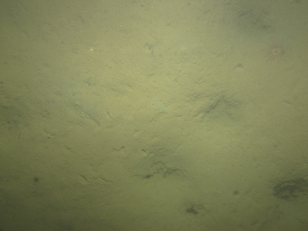
324-10 / Current-rippled and burrowed sand with fish, abundant sand dollars, and tracks.

Photograph showing the sea floor in the study area.
324-10a
Photograph showing the sea floor in the study area.
324-10b
Photograph showing the sea floor in the study area.
324-10c
 
Photograph showing the sea floor in the study area.
324-10d
Photograph showing the sea floor in the study area.
324-10e


324-11 / Bedrock with patches of sand and gravel. Rock is covered with sponges and (or) tunicates, coral, kelp, and other algae. Fish are present.

Photograph showing the sea floor in the study area.
324-11a
Photograph showing the sea floor in the study area.
324-11b
Photograph showing the sea floor in the study area.
324-11c
Photograph showing the sea floor in the study area.
324-11d
Photograph showing the sea floor in the study area.
324-11e
Photograph showing the sea floor in the study area.
324-11f
Photograph showing the sea floor in the study area.
324-11g


324-12 / Bedrock covered with algae and sponges and (or) tunicates. Kelp and fish are present.

Photograph showing the sea floor in the study area.
324-12a
Photograph showing the sea floor in the study area.
324-12b
Photograph showing the sea floor in the study area.
324-12c
Photograph showing the sea floor in the study area.
324-12d
Photograph showing the sea floor in the study area.
324-12e
Photograph showing the sea floor in the study area.
324-12f


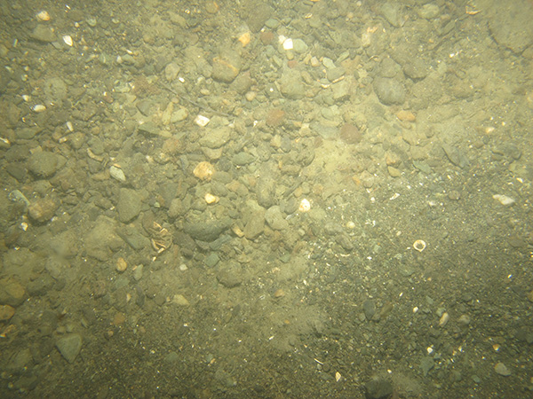
324-13 / Current-rippled gravel and sand with patches of cobbles. Shells, worm tubes, and kelp are present.

Photograph showing the sea floor in the study area.
324-13a
Photograph showing the sea floor in the study area.
324-13b
Photograph showing the sea floor in the study area.
324-13c
Photograph showing the sea floor in the study area.
324-13d
Photograph showing the sea floor in the study area.
324-13e
Photograph showing the sea floor in the study area.
324-13f


324-14 / Current-rippled sand with burrows, animal tracks, amphipods, and worm tubes.

Photograph showing the sea floor in the study area.
324-14a
Photograph showing the sea floor in the study area.
324-14b
Photograph showing the sea floor in the study area.
324-14c
 
Photograph showing the sea floor in the study area.
324-14d
Photograph showing the sea floor in the study area.
324-14e


324-15 / Bedrock covered with kelp and other algae.

Photograph showing the sea floor in the study area.
324-15a
Photograph showing the sea floor in the study area.
324-15b
Photograph showing the sea floor in the study area.
324-15c
Photograph showing the sea floor in the study area.
324-15d
Photograph showing the sea floor in the study area.
324-15e
Photograph showing the sea floor in the study area.
324-15f


324-16 / Current-rippled sand with burrows and animal tracks. Shell hash, hermit crabs, algae, and sand dollars are present.

Photograph showing the sea floor in the study area.
324-16a
Photograph showing the sea floor in the study area.
324-16b
Photograph showing the sea floor in the study area.
324-16c
Photograph showing the sea floor in the study area.
324-16d


324-17 / Sandy silt with burrows, animal tracks, fan worms, and scattered shell hash.

Photograph showing the sea floor in the study area.
324-17a
Photograph showing the sea floor in the study area.
324-17b
Photograph showing the sea floor in the study area.
324-17c
Photograph showing the sea floor in the study area.
324-17d


324-18 / Burrowed sand with scattered shell hash. Hydrozoans, clams, fish, kelp, and other algae are present.

Photograph showing the sea floor in the study area.
324-18a
Photograph showing the sea floor in the study area.
324-18b
Photograph showing the sea floor in the study area.
324-18c
Photograph showing the sea floor in the study area.
324-18d
Photograph showing the sea floor in the study area.
324-18e
Photograph showing the sea floor in the study area.
324-18f


Photograph showing the sea floor in the study area.
324-18g


324-19 / Burrowed sand with shell hash and algae.

Photograph showing the sea floor in the study area.
324-19a
Photograph showing the sea floor in the study area.
324-19b
Photograph showing the sea floor in the study area.
324-19c
Photograph showing the sea floor in the study area.
324-19d

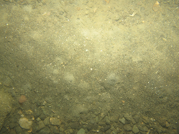
324-20 / Gravelly sediment with crabs, shells, algae, and kelp attached to cobbles.

Photograph showing the sea floor in the study area.
324-20a
Photograph showing the sea floor in the study area.
324-20b
Photograph showing the sea floor in the study area.
324-20c
 
Photograph showing the sea floor in the study area.
324-20d
Photograph showing the sea floor in the study area.
324-20e


324-21 / Burrowed sand with algae and scattered shell hash.

Photograph showing the sea floor in the study area.
324-21a
Photograph showing the sea floor in the study area.
324-21b
Photograph showing the sea floor in the study area.
324-21c
 
Photograph showing the sea floor in the study area.
324-21d
Photograph showing the sea floor in the study area.
324-21e


Accessibility FOIA Privacy Policies and Notices

Take Pride in America logo USA.gov logo U.S. Department of the Interior | U.S. Geological Survey
URL: http://pubsdata.usgs.gov/pubs/of/2015/1149/html/ofr20151149_photo.html
Page Contact Information: GS Pubs Web Contact
Page Last Modified: Wednesday, 07-Dec-2016 21:44:11 EST