U.S. Geological Survey Open-File Report 2015-1153
![]() / Title Page / List of Figures / Conversion Factors / Abbreviations / Abstract / Introduction / Methods / Results / Discussion / Summary / Acknowledgments / References Cited / Appendix — Geospatial Data / Citation Page /
/ Title Page / List of Figures / Conversion Factors / Abbreviations / Abstract / Introduction / Methods / Results / Discussion / Summary / Acknowledgments / References Cited / Appendix — Geospatial Data / Citation Page /
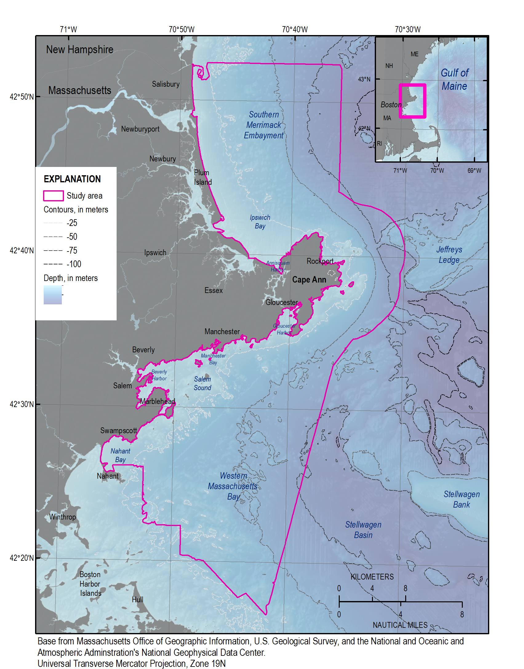
Figure 1. Image of the study area (outlined in pink) that extends from offshore of Hull to Salisbury, Massachusetts, near the New Hampshire border. The outline is the extent of the surficial-sediment texture map and includes western Massachusetts Bay and the southern Merrimack Embayment.

![]() U.S. Department of the Interior |
U.S. Geological Survey
U.S. Department of the Interior |
U.S. Geological Survey
URL: http://pubsdata.usgs.gov/pubs/of/2015/1153/figurepages/ofr20151153_fig1.html
Page Contact Information: GS Pubs Web Contact
Page Last Modified: Wednesday, 07-Dec-2016 21:45:05 EST
