Skip Links

USGS - science for a changing world

U.S. Geological Survey Open-File Report 2015-1153
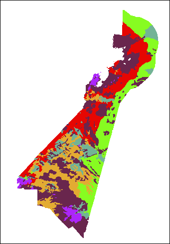
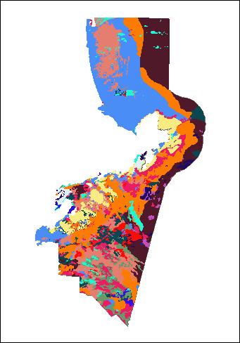
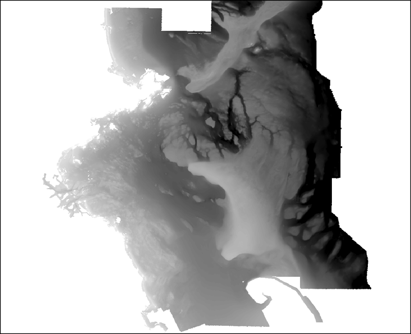
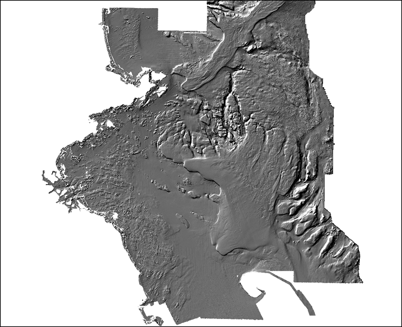
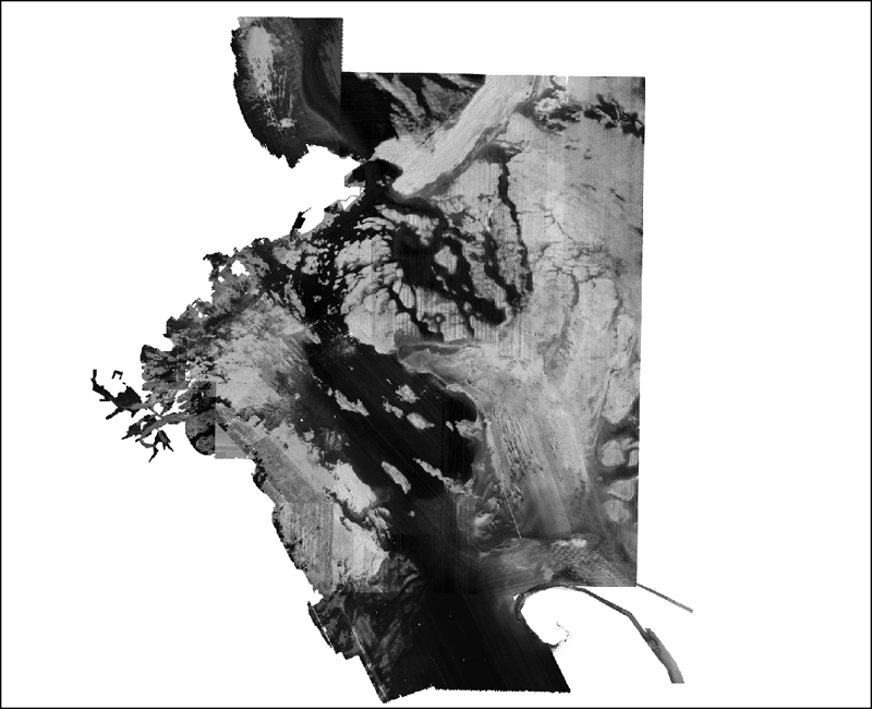
Sea-Floor Texture and Physiographic Zones of the Inner Continental Shelf From Salisbury to Nahant, Massachusetts, Including the Merrimack Embayment and Western Massachusetts Bay


Skip past contents information

Appendix 1. Geospatial Data

This section describes the qualitatively derived data interpretation files, the location of the files, and how to access the data.

Data Format and Projection

Vector data are delivered as Esri shapefiles in the Geographic Coordinate System, referenced to the World Geodetic System of 1984 (WGS 84). Raster data from Pendleton and others (2013) are in the Universal Transverse Mercator Horizontal Coordinate System referenced to WGS 84, and the elevation data are relative to the North American Vertical Datum of 1988.  Spatial data are distributed with Federal Geographic Data Committee (FGDC)-compliant metadata in text and FGDC Classic and FAQ (in hypertext markup language [HTML]) formats. Esri ArcCatalog can also be used to examine the metadata available in the Esri extensible markup language (XML) format associated with each geographic information system (GIS) data file.


Data Access

The datasets from this report can be accessed in the following ways, depending on available software:

  • With ArcGIS software, shapefile data may be viewed and manipulated.
  • Without any GIS software, view the data through ArcReader, a free mapping application distributed by Esri for Windows, Linux, and Unix operating systems. Download ArcReader from the Esri Web site (http://www.Esri.com/software/arcgis/arcreader/download.html) and follow the directions for downloading and installing the free software.


Data Organization

The data from this report are organized in folders. Links to source data published by Pendleton and others (2013) are included in the table below to provide easy access to related layers.

GIS_catalog

PhysiographicZones

NAH_CCB_Pzones.shp—Shapefile: physiographic zones polygons defined through the interpretation of geophysical and sample data.

SedimentTexture

NAH_CCB_sedcover.shp—Shapefile: sediment texture polygons defined through the interpretation of geophysical and sample data.

Data Preview

To download vector data, right click on the link within the ”transfer file” column in the table below. “Save Target As...” to save a compressed ZIP file to the local hard drive.

File description File name (metadata link) Preview File format Transfer file File transfer size
Physiographic Zones
Physiographic zones (Geographic)

NAH_NH_Pzones

Image of the Physiographic Zones shapefile as stored within ArcMap™ 10.2 Esri shapefile (polygons) PhysioZones.zip

1 MB

Sediment Texture
Sediment texture (Geographic) NAH_NH_sedcover Image of the Sediment Texture shapefile as stored within ArcMap™ 10.2 Esri shapefile (polygons) SedCover.zip 1 MB
Source data from Pendleton and others (2013)
NAVD 88 bathymetry and topography grid (30-m cell size; UTM Zone 19N) navd_bath_30m Image of the interpolated bathymetric grid as stored within ArcMap Esri grid, 32 bit floating point bathy_30m.zip 30.3 MB
Bathymetry and topography hillshade image (30-m cell size; UTM Zone 19N) NAVD88_HS_30m.tif Image of the sun-illuminated interpolated bathymetric grid as stored within ArcMap GeoTIFF HS_30m.zip 7.0 MB
Backscatter mosaic (10-m cell size; UTM Zone 19N) BScomposite_10m.tif Image of sidescan-sonar mosaic area as stored within ArcMap GeoTIFF BS_10m.zip 43.7 MB


Accessibility FOIA Privacy Policies and Notices

Take Pride in America logo USA.gov logo U.S. Department of the Interior | U.S. Geological Survey
URL: http://pubsdata.usgs.gov/pubs/of/2015/1153/html/ofr20151153_GIS_catalog.html
Page Contact Information: GS Pubs Web Contact
Page Last Modified: Wednesday, 07-Dec-2016 21:45:29 EST