U.S. Geological Survey Open-File Report 2015-1153
![]() / Title Page / List of Figures / Conversion Factors / Abbreviations / Abstract / Introduction / Methods / Results / Discussion / Summary / Acknowledgments / References Cited / Appendix — Geospatial Data / Citation Page /
/ Title Page / List of Figures / Conversion Factors / Abbreviations / Abstract / Introduction / Methods / Results / Discussion / Summary / Acknowledgments / References Cited / Appendix — Geospatial Data / Citation Page /
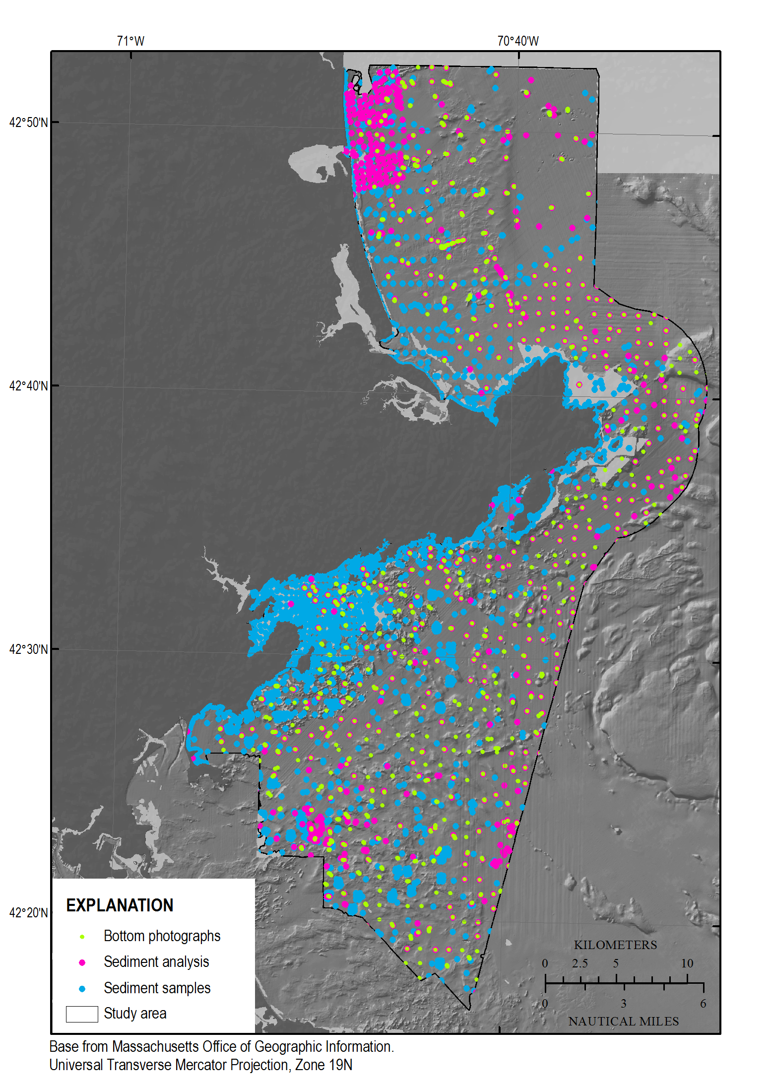
Figure 7. Bottom photographs (Barnhardt and others, 2006, 2009; Gutierrez and others, 2000; green dots) and sediment samples collected within the study area and used to aid interpretations. Sediment samples with laboratory analysis are shown as magenta dots, while blue dots are visual descriptions (Ford and Voss, 2010; McMullen and others, 2011; Emily Huntley, Massachusetts Office of Coastal Zone Management, unpub. data, 2012).

![]() U.S. Department of the Interior |
U.S. Geological Survey
U.S. Department of the Interior |
U.S. Geological Survey
URL: http://pubsdata.usgs.gov/pubs/of/2015/1153/figurepages/ofr20151153_fig7.html
Page Contact Information: GS Pubs Web Contact
Page Last Modified: Wednesday, 07-Dec-2016 21:45:14 EST
