Skip past header information
USGS - science for a changing world

Open-File Report 2016–1168


High-Resolution Geophysical Data From the Inner Continental Shelf: South of Martha’s Vineyard and North of Nantucket, Massachusetts


Skip past contents information

Appendix 1 — Geospatial Data

This section describes the data collected for this project, the location of the data, and how to access them.

Data Format and Projection

All vector data are delivered as Esri shapefiles in the World Geodetic System of 1984 (WGS 84) geographic coordinate system. The raster data are georeferenced tagged image file format (GeoTIFF) files in Universal Transverse Mercator (UTM), Zone 19, WGS 84 projection. These data can also be accessed through the U.S. Geological Survey Coastal and Marine Geology Program Web Map server (http://coastalmap.marine.usgs.gov/).

All spatial data are distributed with Esri-style Federal Geographic Data Committee (FGDC) metadata in extensible markup language (XML) format. Metadata are also provided for all spatial data in text (TXT) and FGDC classic hypertext markup language (HTML) formats. Esri ArcCatalog 10.x or 9.x can also be used to examine the metadata in a variety of additional formats.

Data Access

The complete datasets from this project can be accessed in two different ways, depending on available software.

  1. If you have ArcGIS 9.x or 10.x, all shapefile and raster data may be viewed and manipulated, although Spatial Analyst extension will be required to fully work with the raster datasets.  ArcGIS 10.3 or higher is required to use the ArcMap project 2016-1168_10_3.mxd with all of the datasets pre-loaded.
  2. If you do not have any geographic information system (GIS) software, a free software download is available to view the data.

If You Have ArcGIS
Make a new folder structure on your computer matching the structure shown in the “Data Organization” section, then download each of the ZIP files in the data catalog below to the corresponding folder on your computer. Download the ArcMap document 2016-1168_10_3.mxd to the parent "GIS" directory. This map document has all the data layers loaded in the table of contents and uses relative links, so there is no need to change any pathways for drive letters, if all folders remain the same under the parent directory (GIS). After unzipping each of the files, your GIS folder should be organized as described in the “Data Organization” section.  Alternatively, you may also try to download and replicate the contents of the GIS folder on your computer. Note: the ArcMap project 2016-1168_10_3.mxd will only work with ArcGIS version 10.3 or higher.

If You Do NOT Have Any GIS Software
You can still view all the data via other free mapping applications distributed by Esri for Windows, Linux, and Unix operating systems. Download the free Esri software, ArcExplorer (http://www.esri.com/software/arcgis/explorer/), or other open-source GIS software to view the datasets.

Data Organization

The data are organized in folders on the Web site where this report is served (https://dx.doi.org/10.3133/ofr20161168 ). The file structure is described below. Data layers can be downloaded individually from the table below. Individual layers are provided in compressed (ZIP) files. Files in a ZIP archive can be extracted with various free software programs that can be found online.
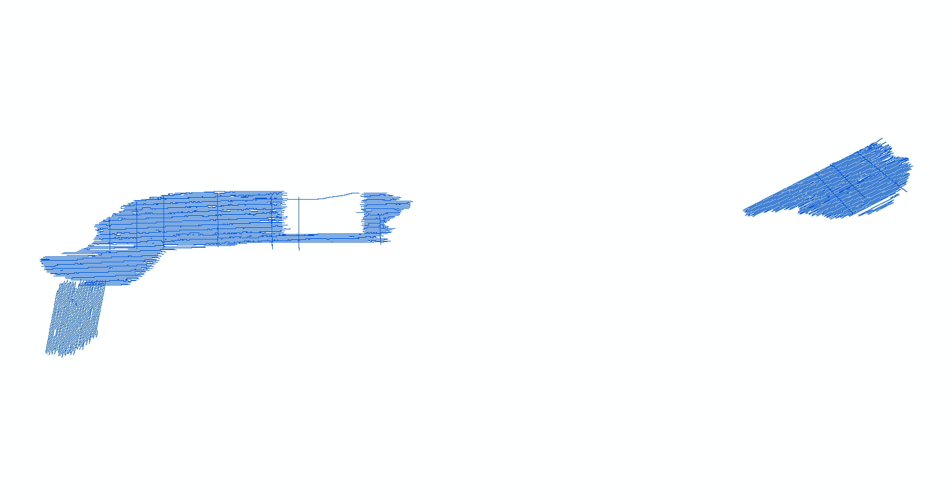
folder.GIS_catalog — Top-level directory for all spatial data. Copy or download the files to this folder on a local hard drive. Note: The size of the uncompressed GIS directory is approximately 3 gigabytes (GB).

2016-1168_10_3.mxd — ArcGIS 10.3 map document with all data loaded in the ArcMap table of contents.

folder.raster — Folder containing all raster spatial data in either Esri grid or GeoTIFF format. Contains the following subdirectories:

  • folder.bathy — Folder containing bathymetry GeoTIFF of the U.S. Geological Survey (USGS) interferometric sonar data as well as a depth-colored shaded-relief (hillshade) GeoTIFF image of the bathymetry data.

  • folder.backscatter — Folder containing the sidescan-sonar backscatter GeoTIFF mosaic.

folder.hyperlink_images - Folder containing seismic profile images in portable network graphics (PNG) format. Seismic profile images can be hyperlinked to the 2013–003–FA_512i_shottrack layer in the ArcMap document (MXD) table of contents. Use the hyperlink tool in ArcGIS to click on these survey lines and view the linked image. (This should work flawlessly if the entire content of the GIS directory is copied from the disc and the seismic profile images are unzipped according to the README.txt instructions included in the hyperlink_images folder).

folder.shapefile — Folder containing shapefiles in geographic coordinate system WGS84.

folder.navigation — Folder containing zip compressed raw HYPACK navigation files from USGS survey 2013-003-FA


Data Catalog

Vector Data —The vector data are stored and delivered in shapefile format in geographic coordinates. The hyperlinks in the “Layer (metadata)” column are linked to the metadata for the shapefile. The link in the "Download file (size)" column provides access to a compressed ZIP file, which contains the shapefile and the metadata.

Layer (metadata)

Description

Preview

Download file
(size)

2013-003-FA_BathyTracklines

Tracklines for the swath bathymetry surveys

Tracklines for the swath bathymetry surveys

Shapefile
(6 MB)

2013-003-FA_512i_shot500

Locations of seismic shotpoints at 500-shot intervals and the unique shot navigation (in CSV format)

Locations of seismic shotpoints at 500-shot intervals

Shapefile
(<1 MB)

2013-003-FA_512i_shottrack

Tracklines of seismic profiles

Tracklines of seismic profiles

Shapefile
(21 MB)

2013-003-FA_BackscatterTracklines

Tracklines of the swath backscatter survey

Tracklines of the swath backscatter survey

Shapefile
(8 MB)

OUTLINE25K_POLY

Outline of the Commonwealth of Massachusetts (from the Massachusetts Office of Geographic Information [MassGIS])

Outline of the Commonweath of Massachusetts

Shapefile
(2.3 MB)


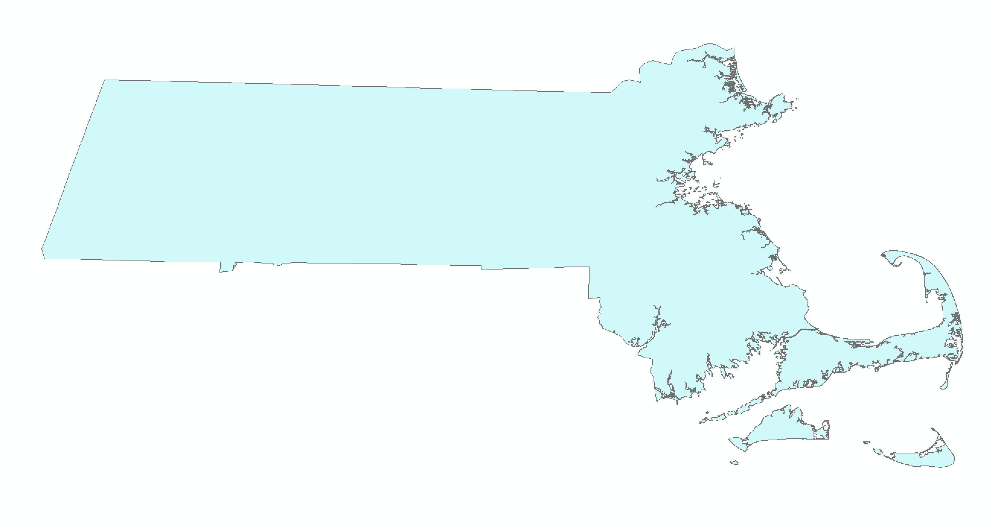
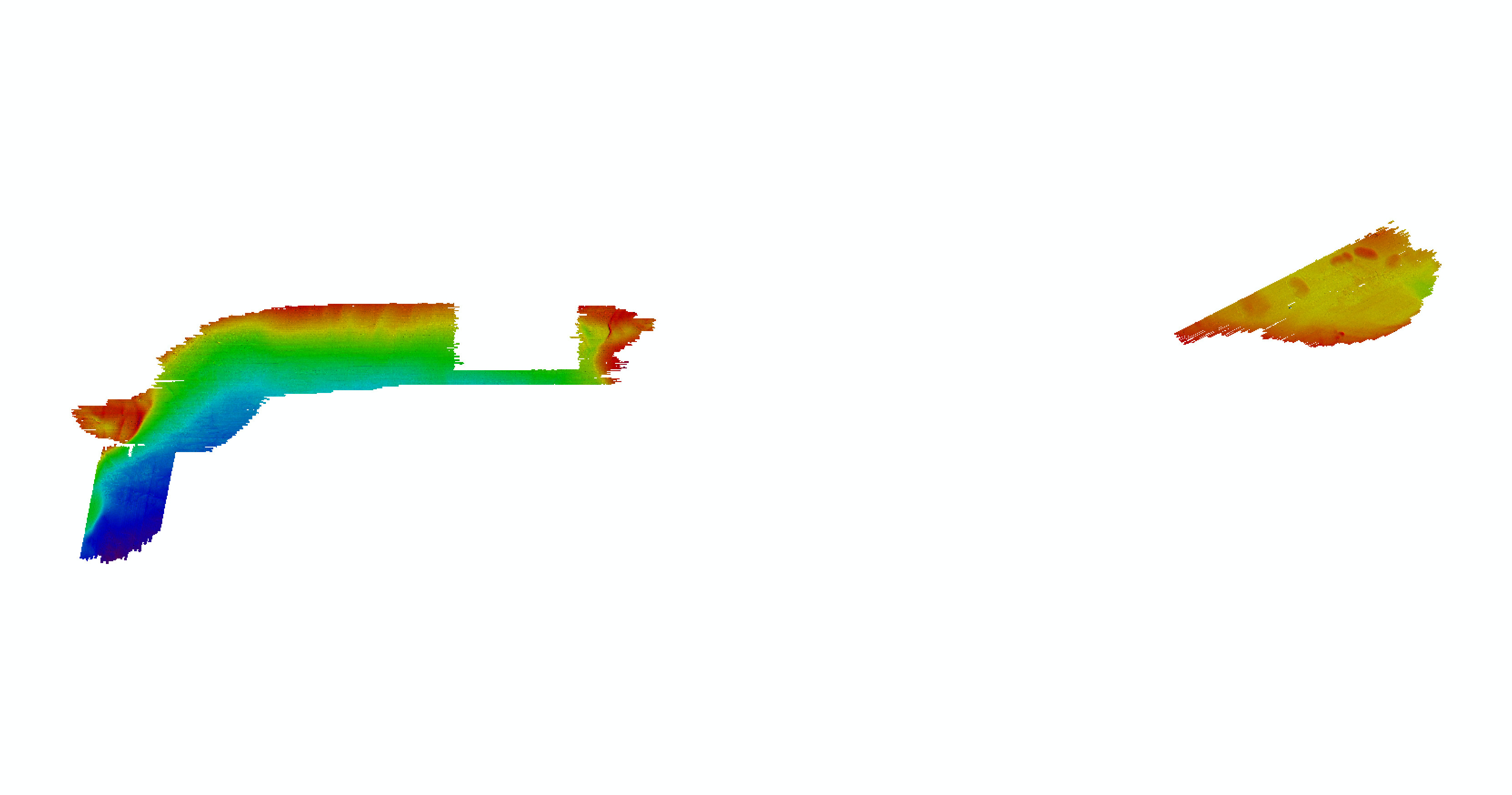
Raster Data.—The primary coordinate system for the raster data is WGS 84 UTM Zone 19. The link in the "Download file (size)" column provides access to a compressed ZIP file, which contains the raster data and the metadata.

Raster Layer (metadata)

Description

Preview

Download file
(size)

2013-003-FA_Bath5m

5-m bathymetric 32-bit continuous floating point GeoTIFF and depth-colored shaded-relief image

5-m bathymetric 32-bit continuous floating point GeoTIFF and depth-colored shaded-relief image

GeoTIFFs
(40 MB)

2013-003-FA _Backscatter1m

1-meter (m) backscatter mosaic of sidescan-sonar data in 8-bit continuous unsigned integer GeoTIFF format

1-m backscatter mosaic of sidescan-sonar data in 8-bit continuous unsigned integer of GeoTIFF format

GeoTIFF
(104 MB)

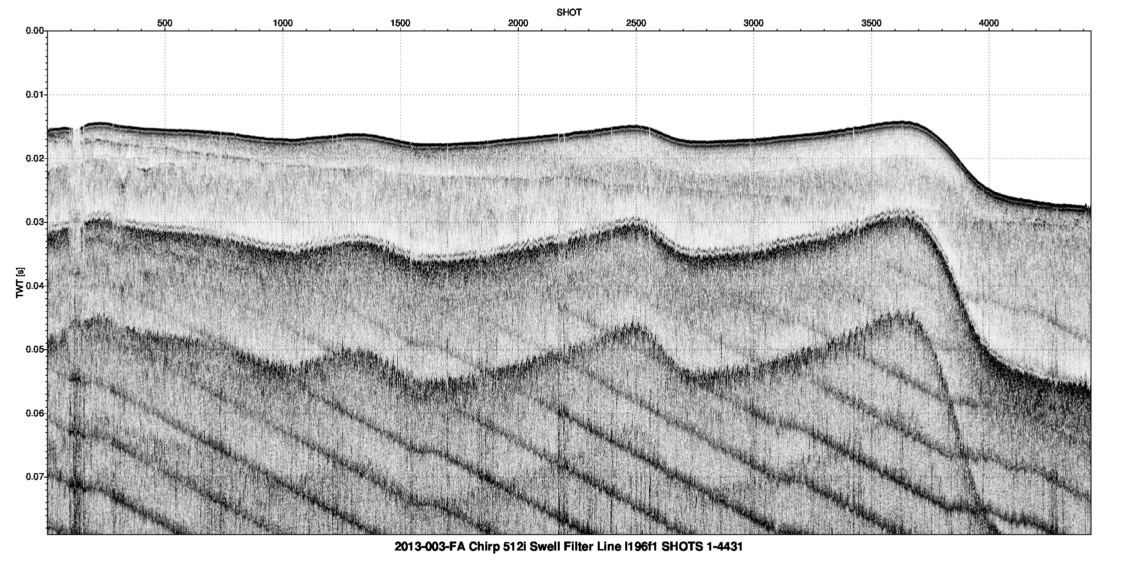
Image Data.—he link in the "Download file (size)" column provides access to a compressed ZIP file, which contains images in JPEG format and the metadata.

Hyperlinked Images
(metadata)

Description

Preview

Download file (size)

2013-003-FA_512i_images

Seismic-reflection profile images in png format

Seismic-reflection profile mage in png format

2013-003-FA_512i_images (844MB)

Navigation Data.—The link in the "Download (file (size)" column provides access to a compressed ZIP file, which contains the navigation files and the metadata.

Navigation

Description

Download file (approx size)

2013-003-FA_HYPACK

Navigation data from USGS survey 2013–003–FA (13003)

2013-003-FA_HYPACK (625 MB)


Accessibility FOIA Privacy Policies and Notices

Take Pride in America logo USA.gov logo U.S. Department of the Interior | U.S. Geological Survey
URL: http://pubsdata.usgs.gov/pubs/of/2016/1168/ofr2016-1168-data_catalog.html
Page Contact Information: GS Pubs Web Contact
Page Last Modified: Wednesday, 07-Dec-2016 23:31:26 EST