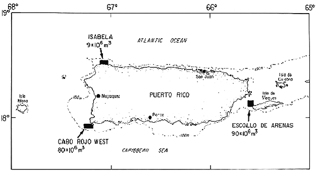
|
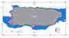
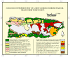
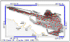
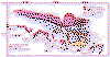
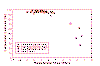
Scanlon,
K.M., Rodriguez, R.W., Trias, J.L., and Delorey, C.M., in press. Offshore
sediments and sand and gravel resources on the insular shelf of Puerto Rico.
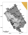
modified from: Bawiec, W.J., Geology, Geochemistry, Geophysics, Mineral
Occurrences and Mineral Resource Assessment for the Commonwealth of Puerto
Rico, USGS Open File Report 98-38, 20 ms. p., 1 map, 1:200,000 scale.
|
 |
 |
 |
 |
 |
 |
 |
 |
|
|
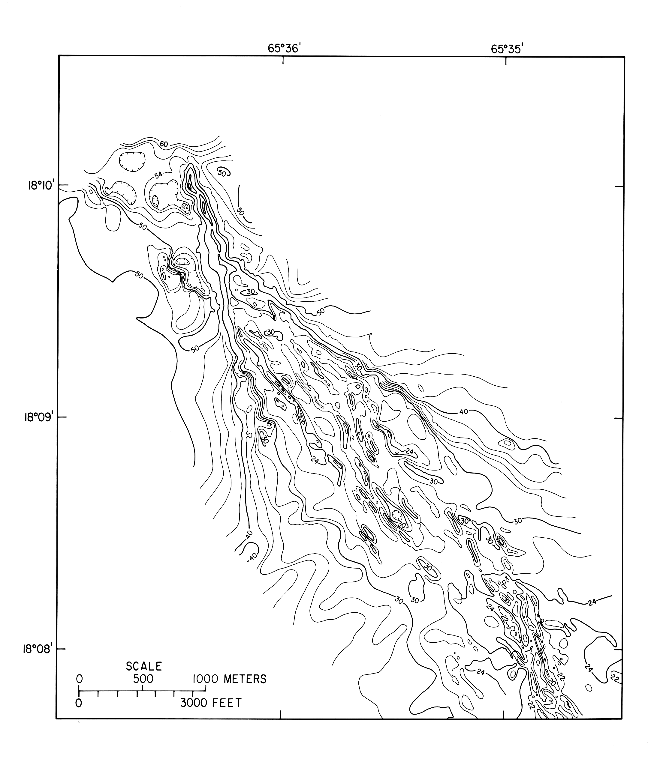
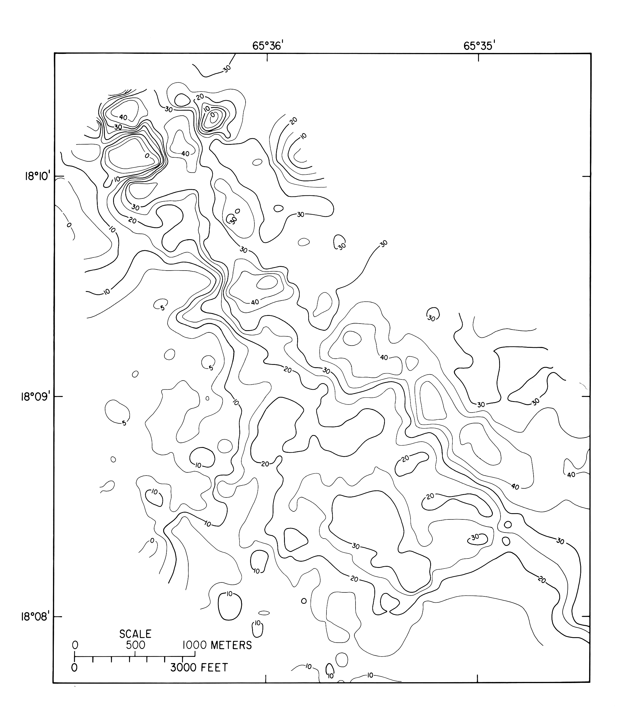
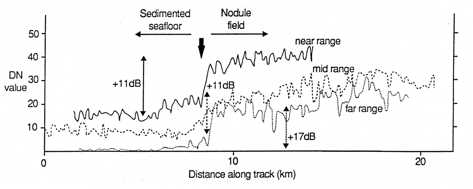
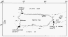
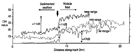
Masson, D.G. and Scanlon, K.M., 1993. Reply to Comment by Neil Mitchell on
Fe-Mn Nodule Field Indicated by GLORIA, North of the Puerto Rico Trench.
GeoMarine Letters, v.13, p. 244-247.
|
|
|
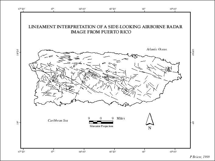
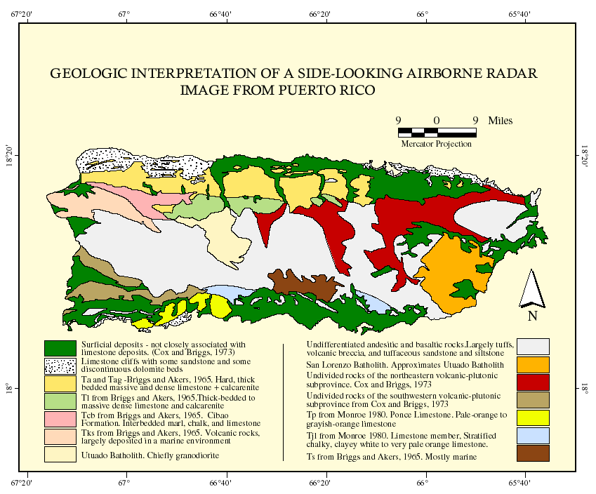
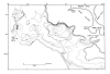
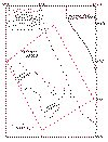
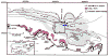
Briere, P.R. and Scanlon, K.M.,
Lineaments and Lithology Derived from a
Side-Looking Airborne Radar Image of Puerto Rico.
|
|
|
|
|
|
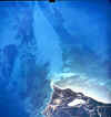
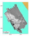
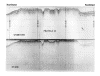
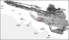
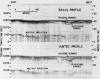
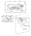
Cross, V.A. and Schwab, W.C., 1998. Digital Sidescan-Sonar
Imagery of the
Manchas Interiores-Manchas Exteriores Coral Reef Complex, Mayag�ez, Puerto
Rico. modified from Open-File Report 98-427
|
|
|
|

|
|
|
|

|
|

|

|
|
|
|
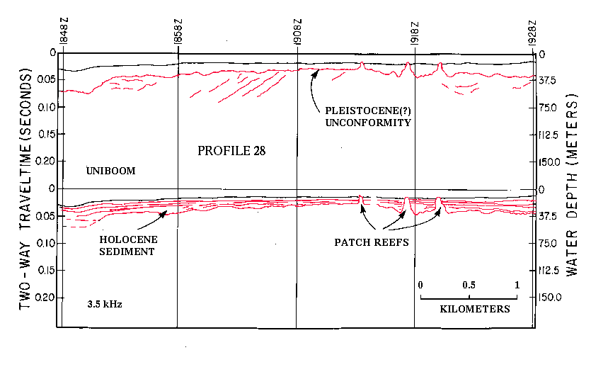
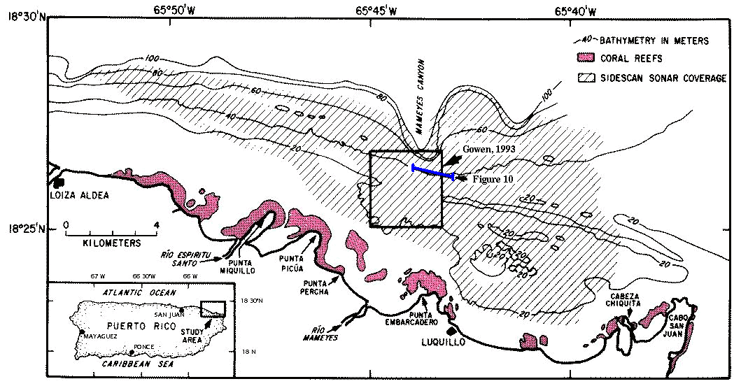
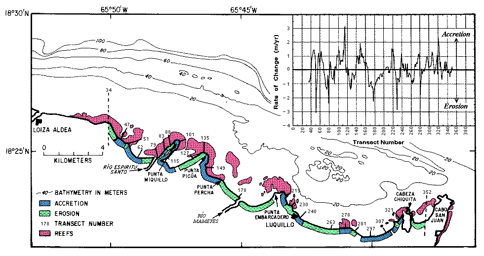
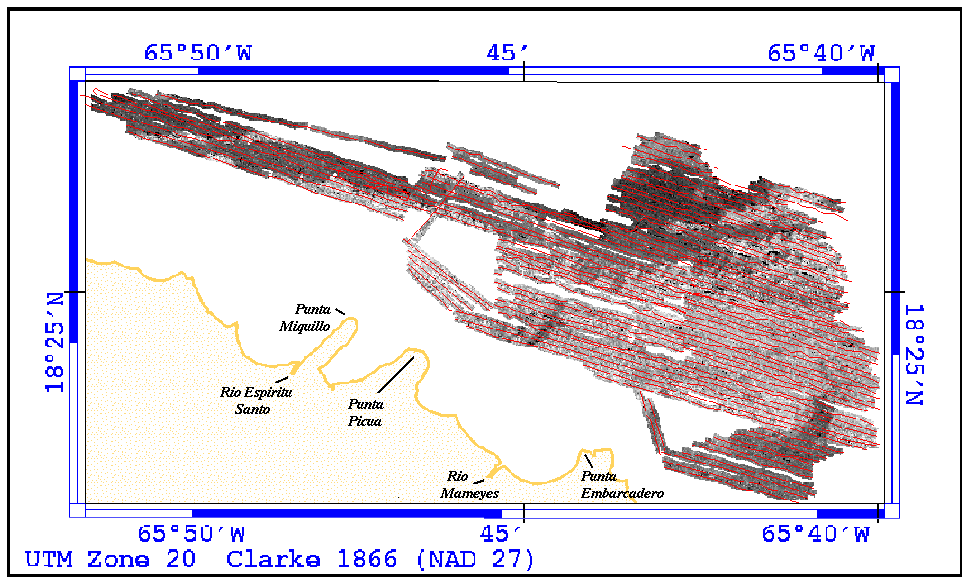
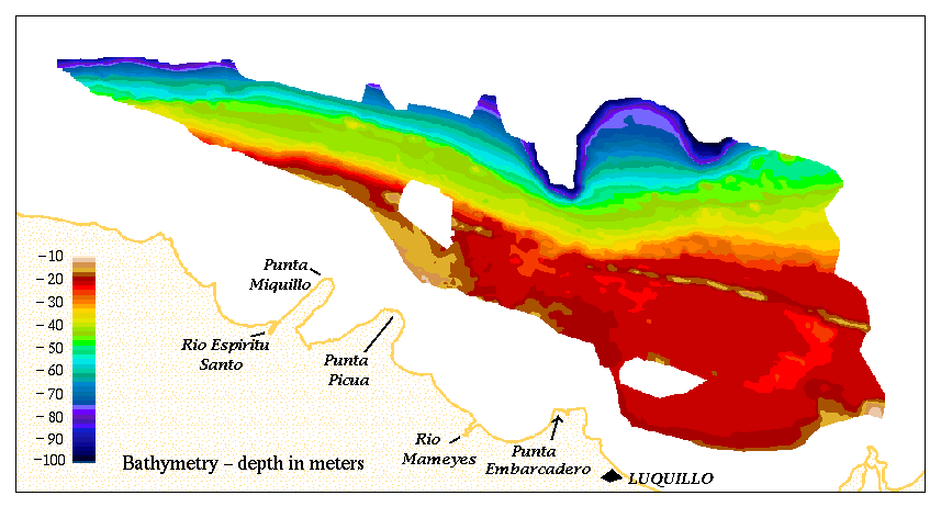
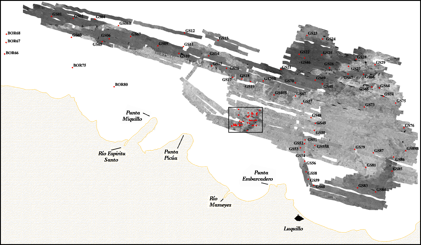
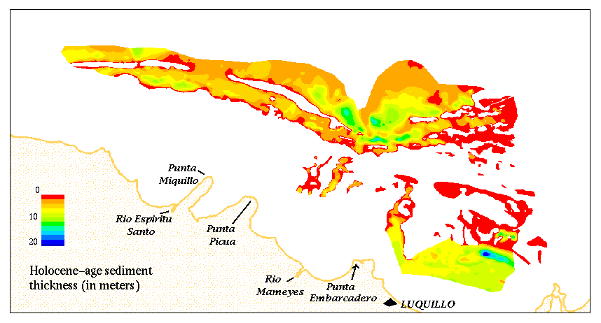
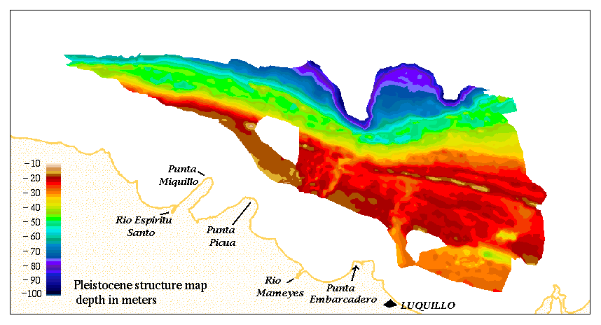
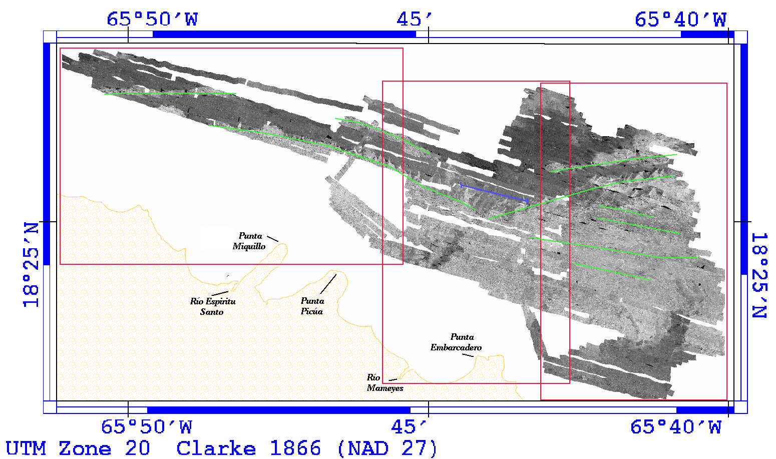
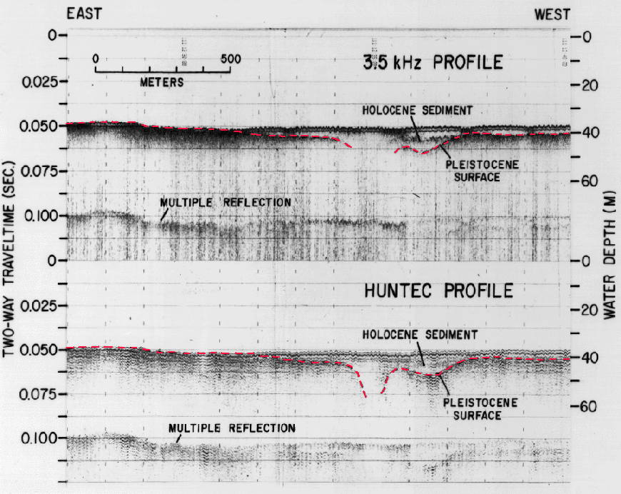
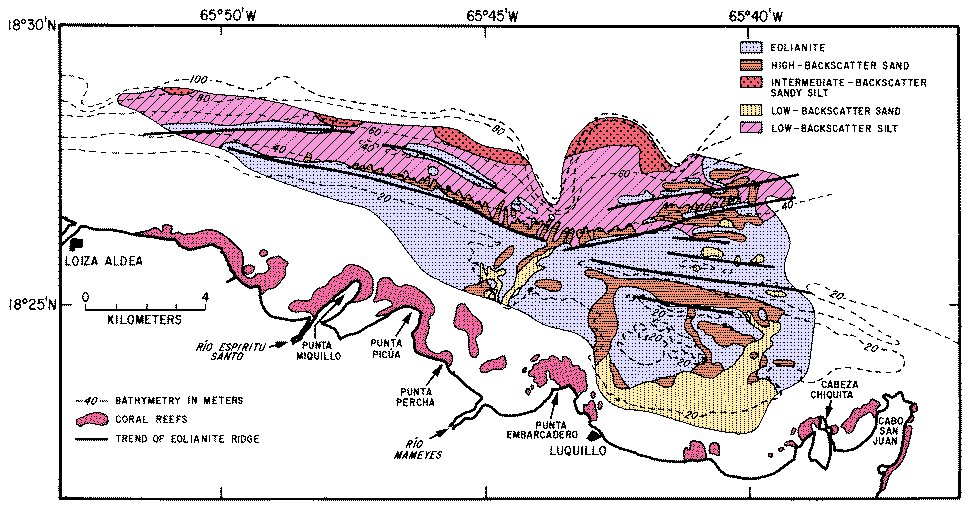
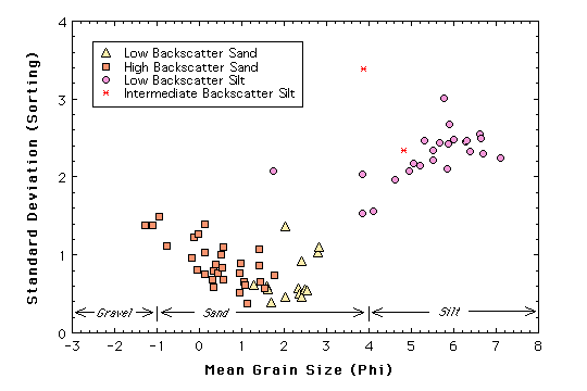
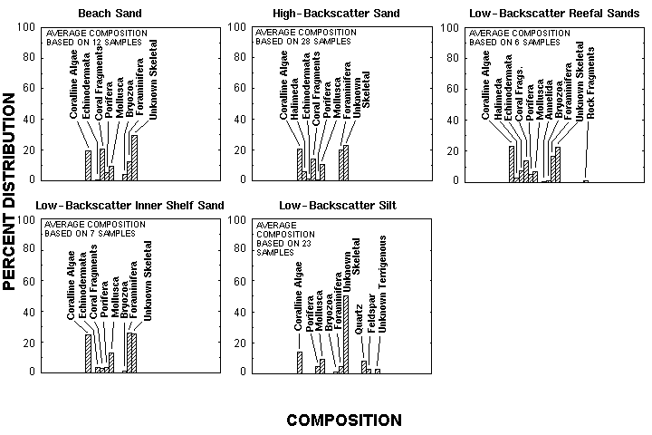
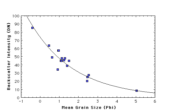
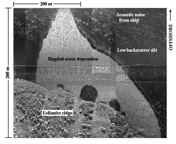
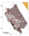
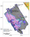
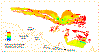
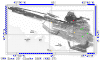
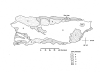
Cross, V.A., Schwab,
W.C., and Raker, B.A., 1998. High-Resolution Marine
Geologic Maps Showing Sediment Distribution on the Insular Shelf off
Luquillo,
Puerto Rico. modified from U.S. Geological Survey Open-File Report
98-204
|
|

|

|
|

|
|
|
|
|
|
|
|

|
|
|

|
|
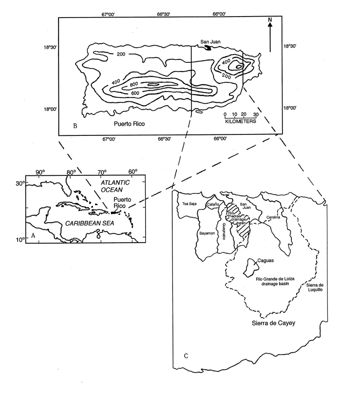
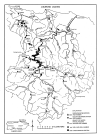
Osterkamp, W.R., Earth-Surface
Processes, Materials Use, and Urban Development -- A Case Study of
the San Juan Metropolitan Area, Northeastern Puerto Rico |
 |
 |
 |
|
|
|
|
|
|
|
|
|
|