Skip past header information
USGS - science for a changing world

U.S. Geological Survey Open-File Report 2012-1219

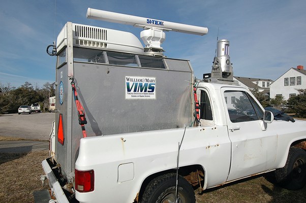
Carolinas Coastal Change Processes Project data report for nearshore observations at Cape Hatteras, North Carolina, February 2010


Skip past contents information Title Page |   List of Figures | Conversion Factors | Abbreviations | Abstract | Introduction | Background | Field Program | Instrumentation | Mooring Identification and Field Mooring Log | Data Processing | Data File Identifiers | Digital Data Files| Supporting Observations| | Data Available | Tidal Analysis | Digital Data Files | Time-Series Plots | Acknowledgments | References Cited | Matlab® m-files | Metadata | Index |


Figure 12, The truck equipped with a coastal LIDAR and Radar Imaging System (CLARIS).


Figure 12. The truck equipped with a coastal light detection and ranging system and an X-band radar imaging system. Photograph by Don Bowers.

Download the full size image in PDF format.


To view files in PDF format, download a free copy of Adobe Reader.


Accessibility FOIA Privacy Policies and Notices

Take Pride in America logo USA.gov logo U.S. Department of the Interior | U.S. Geological Survey
URL: http://pubsdata.usgs.gov/pubs/of/2012/1219/figure12.html
Page Contact Information: GS Pubs Web Contact
Page Last Modified: Monday, 26-Aug-2013 12:14:01 EDT