USGS - science for a changing world

Data Series 366

Multibeam Sonar Mapping and Modeling of a Submerged Bryophyte Mat in Crater Lake, Oregon

Figure 1.Crater Lake location map

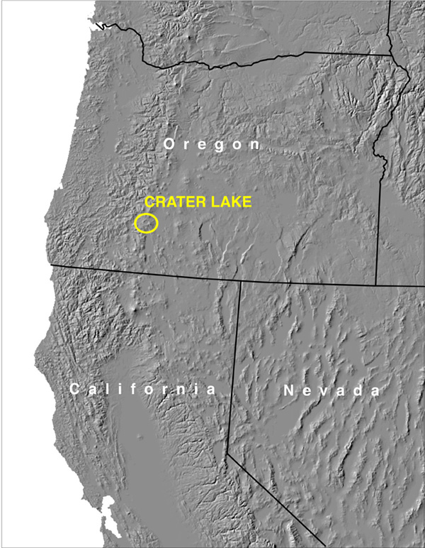
Figure 1.  Shaded relief map of the western United States showing location of Crater Lake in the Cascade Range of western Oregon.

For more information contact: Peter Dartnell

Accessibility FOIA Privacy Policies and Notices

Take Pride in America logo USA.gov logo U.S. Department of the Interior | U.S. Geological Survey
URL: https://pubs.usgs.gov/ds/366/figure1.html
Page Contact Information: Michael Diggles
Page Last Modified: August 19, 2008 (P.D.)