
Multibeam Sonar Mapping and Modeling of a Submerged Bryophyte Mat in Crater Lake, Oregon
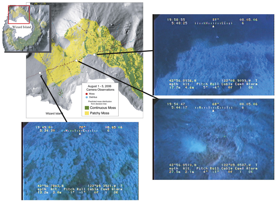
Figure 9. Comparisons between video stills captured from video collected along the northern side of Wizard Island and the moss-distribution map. The image at point A located outside the area of moss on the map shows little to no live moss. The image at point B located in an area of patchy moss on the map shows thin moss with open patches. Point C on the map shows the sharp, shallow boundary of the moss and this is confirmed by the image captured at this location.
For more information contact: Peter Dartnell
