U.S. Geological Survey Open-File Report 2009-1001
Geological Interpretation of the Sea Floor Offshore of Edgartown, Massachusetts
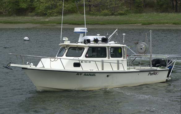 |
Figure 11. A port-side view of the USGS research vessel Rafael that was used to collect Chirp and Boomer seismic-reflection profiles, bottom photography, and sediment samples in the vicinity of Edgartown Harbor, Massachusetts. |

![]() U.S. Department of the Interior |
U.S. Geological Survey
U.S. Department of the Interior |
U.S. Geological Survey
URL: https://pubsdata.usgs.gov/pubs/of/2009/1001/html/fig11.html
Page Contact Information: Contact USGS
Page Last Modified: Wednesday, 07-Dec-2016 22:23:00 EST

