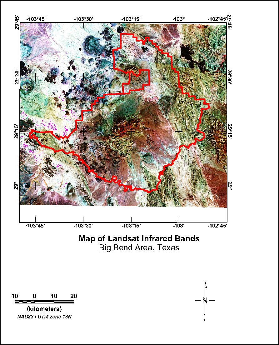
Figure 13. Map showing Landsat infrared bands 4, 5, and 7 as shades of red, green, and blue. The red line on the map indicates the boundaries of the Big Bend National Park.
K Map | U Map | Th Map | Gamma-ray Map | Landsat Visible | Landsat Red | Landsat Infrared | Landsat Color | DEM
Intro | Geology | Gamma-ray Data | Landsat Data | Discussion | Conclusions | Listing of Data Files | References | Tutorial