U.S. Geological Survey Open-File Report 2009-1001
Geological Interpretation of the Sea Floor Offshore of Edgartown, Massachusetts
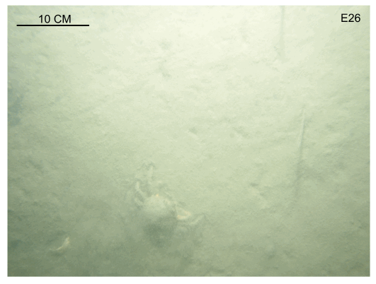 |
Figure 33. The bottom at station E26. This flat, muddy sea floor is typical of the inner part of Edgartown Harbor. Note the presence of animal tracks, a spider crab, and dead eelgrass. Station location is shown in figures 15 and 29. |

![]() U.S. Department of the Interior |
U.S. Geological Survey
U.S. Department of the Interior |
U.S. Geological Survey
URL: https://pubsdata.usgs.gov/pubs/of/2009/1001/html/fig33.html
Page Contact Information: Contact USGS
Page Last Modified: Wednesday, 07-Dec-2016 22:23:28 EST

