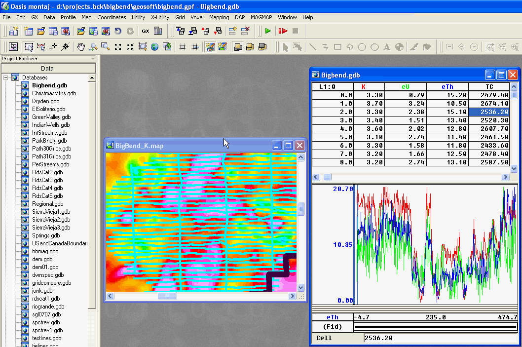
You may be interested in examining the actual flightline data rather than the images of the grids. To do so, you need to open the database named bigbend.gdb and you must also have made visible the flightlines for the survey of interest. In the example shown in the image below, the flightlines for the Christmas Mountains detailed survey were made visible (PATH_ChristmasMtns).

Tutorial 1 | Tutorial 2 | Tutorial 3 | Tutorial 4 | Tutorial 5 | Tutorial 6 | Tutorial 7 | Tutorial 8 | Tutorial 9 | Tutorial 10 |
Intro | Geology | Gamma-ray Data | Landsat Data | Maps | Discussion | Conclusions | Listing of Data Files | References | Tutorial