Skip past header information
USGS - science for a changing world

U.S. Geological Survey Open-File Report 2011-1127

Construction of a 3-Arcsecond Digital Elevation Model for the Gulf of Maine


National Oceanic and Atmospheric Administration Coastal Services Center Coastal LIDAR

Skip past contents information
Click on figures for larger images.
NOAA CSC Coastal Lidar

Figure 15. Map showing the extent of the light detections and ranging (LIDAR) data for the Gulf of Maine from the National Ocean Service’s Coastal Services Center of the National Oceanic and Atmospheric Administration.

National Oceanic and Atmospheric Administration's (NOAA) Coastal Services Center published LIDAR data collected by the U.A. Army Corps of Engineers (USACE) and maintains LIDAR data in coastal areas of the United States and its territories (fig. 15). The USACE acquired these data in the course of performing its mission of flood control, navigation, environmental engineering, and support for the U.S. Army and others.

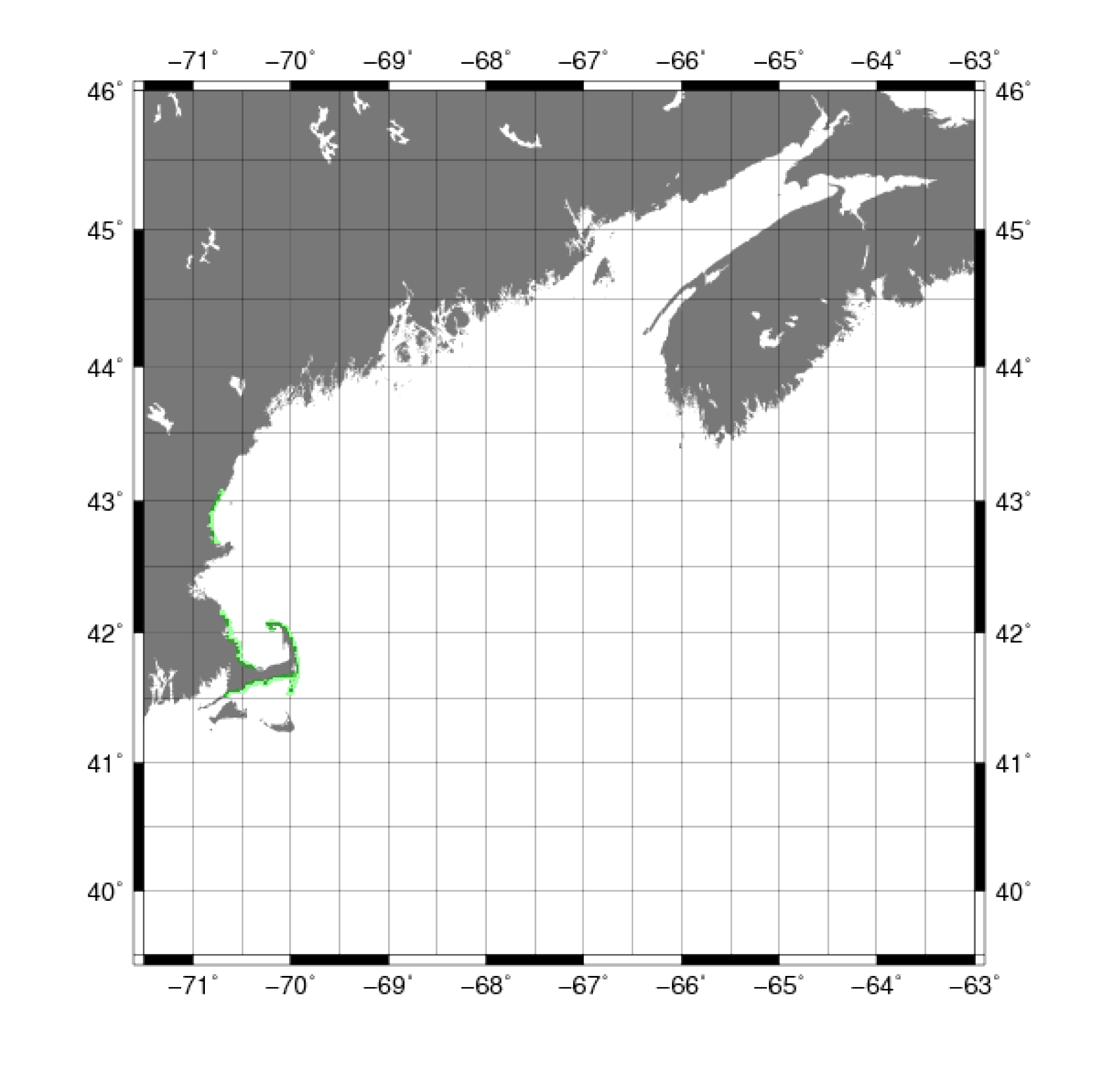
Topographic LIDAR datasets were collected for Massachusetts and Rhode Island using a SHOALS-1000T airborne laser bathymetry survey instrument at 500-m altitude, 2 m × 1 m spot density, and 10-kilohertz (kHz) sampling rate. Bathymetric data were collected for Massachusetts and Rhode Island using a SHOALS-1000T hydrographic laser flying at 400-m altitude, 5 m × 5 m spot spacing, and 1-kHz sampling rate (Joint Airborne LIDAR Bathymetry Technical Center of Expertise, 2009)

Maine had a similar data collection process. In addition, topography data were also collected with a Leica ALS-50 sensor at 1,600-m altitude, 1m × 1m spot spacing, and 133-kHz sampling rate. Bathymetric data were collected using a SHOALS-1000T hydrographic laser flying at 400-m altitude, 5-m × 5-m spot spacing, and 1-kHz sampling rate (Joint Airborne LIDAR Bathymetry Technical Center of Expertise, 2009)

Data Properties:
  • Vertical Datum:  NAVD88
  • Vertical Accuracy:  ± 3 m
  • Coordinate System:   geographic decimal degrees
  • Horizontal Datum:  NAD83
  • Horizontal Accuracy:  ± 30 centimeters (cm)
  • Resolution:   Less than 10 m
  • Period Covered by Data:  2005 through 2007
  • Format:  Comma delimited
  • Date Data Downloaded:   September 2009
The original format of the data was comma-delimited text files and had to be reformatted to ASCII XYZ using an AWK script.

The fine resolution of this dataset posed an issue with the initial gridding algorithm. The size of the dataset proved to be too large for the algorithm to handle. This problem was resolved by using the GMT 'blockmedian' command to resample the data from less than 10-m resolution to 1-arcsecond (approximately 30-m) resolution.

For more information on blockmedian, see Common Processing Steps and Data.
Skip USGS links group

Accessibility FOIA Privacy Policies and Notices

Take Pride in America logo USAGov logo U.S. Department of the Interior | U.S. Geological Survey
End of USGS links group